Salado in Bell County, Texas — The American South (West South Central)
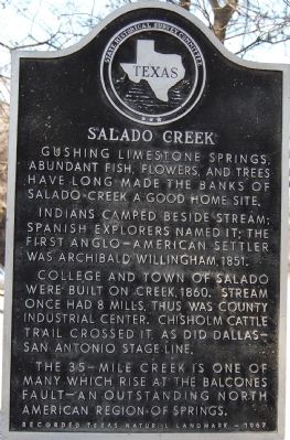
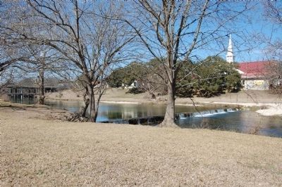
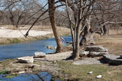
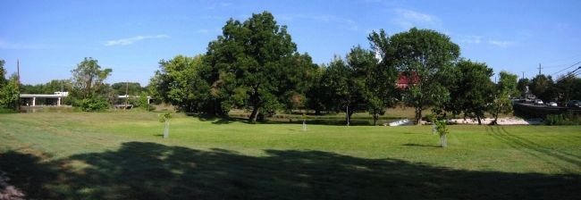
Salado Creek
Indians camped beside stream; Spanish explorers named it; the first Anglo-American settler was Archibald Willingham, 1851.
College and town of Salado were built on creek, 1860. Stream once had 8 mills, thus was county industrial center. Chisholm Cattle Trail crossed it, as did Dallas-San Antonio Stage Line.
The 35-mile creek is one of many which rise at the Balcones Fault--an outstanding North American region of springs.
Erected 1967 by the State Historical Survey Committee. (Marker Number 4493.)
Topics. This historical marker is listed in this topic list: Waterways & Vessels. A significant historical year for this entry is 1851.
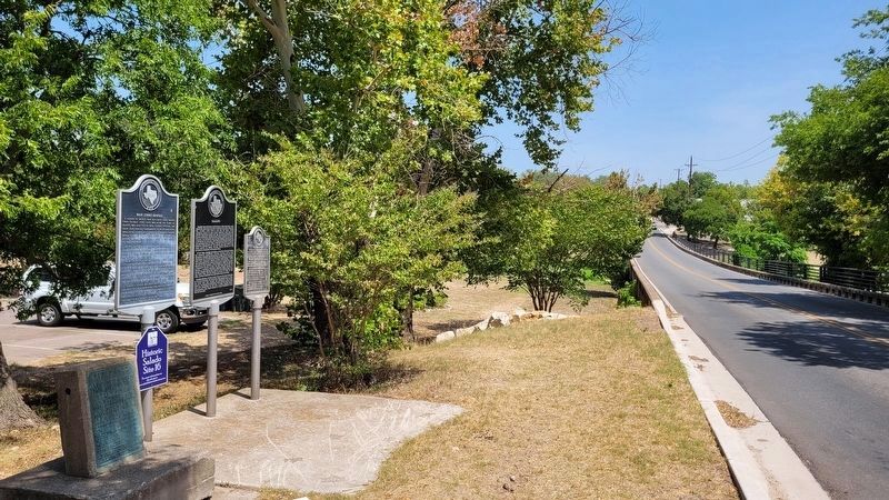
Location. 30° 56.594′ N, 97° 32.244′ W. Marker is in Salado, Texas, in Bell County. Marker is on Main Street, on the right when traveling south. South of bridge. Touch for map. Marker is in this post office area: Salado TX 76571, United States of America. Touch for directions.
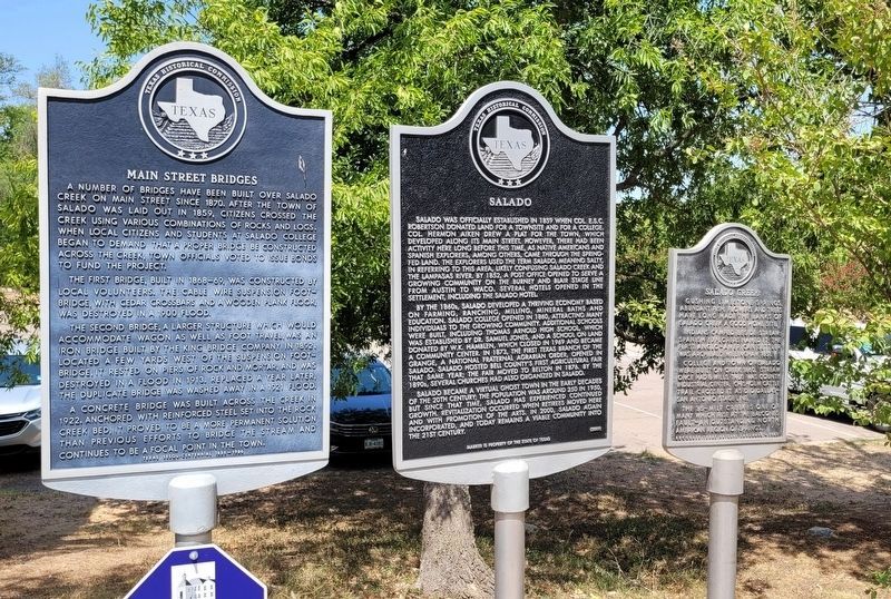
Other nearby markers. At least 8 other markers are within walking distance of this marker. Salado (here, next to this marker); Main Street Bridges (here, next to this marker); Log Cabin at the Stagecoach Inn (about 300 feet away, measured in a direct line); Stagecoach Inn (about 400 feet away); The Davis Mill (about 500 feet away); First Baptist Church of Salado (about 500 feet away); Site of Salado College (about 600 feet away); Judge Paine L. Bush - Salado Son (about 600 feet away). Touch for a list and map of all markers in Salado.
Credits. This page was last revised on August 4, 2022. It was originally submitted on March 24, 2010, by Keith Peterson of Cedar Park, Texas. This page has been viewed 1,385 times since then and 44 times this year. Photos: 1. submitted on March 24, 2010, by Keith Peterson of Cedar Park, Texas. 2, 3. submitted on August 4, 2022, by James Hulse of Medina, Texas. 4, 5. submitted on March 24, 2010, by Keith Peterson of Cedar Park, Texas. 6. submitted on November 11, 2013, by Richard Denney of Austin, Texas. • Bill Pfingsten was the editor who published this page.
