Near Henderson in Clark County, Nevada — The American Mountains (Southwest)
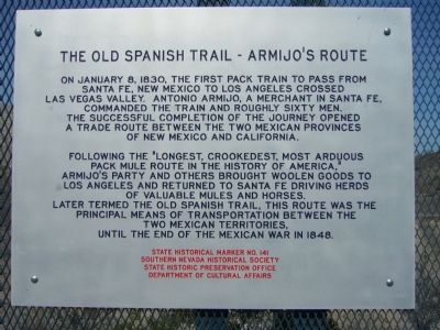
The Old Spanish Trail – Armijo's Route
Following the "longest, crookedest, most arduous pack mule route in the history of America," Armijo's party and others brought woolen goods to Los Angeles and returned to Santa Fe driving herds of valuable mules and horses. Later termed the Old Spanish Trail, this route was the principal means of transportation between the two Mexican territories, until the end of the Mexican War in 1848.
Erected by Southern Nevada Historical Society, State Historic Preservation Office, Department of Cultural Affairs. (Marker Number 141.)
Topics and series. This historical marker is listed in these topic lists: Exploration • Roads & Vehicles. In addition, it is included in the Old Spanish National Trail series list. A significant historical month for this entry is January 1688.
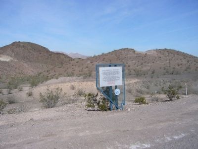
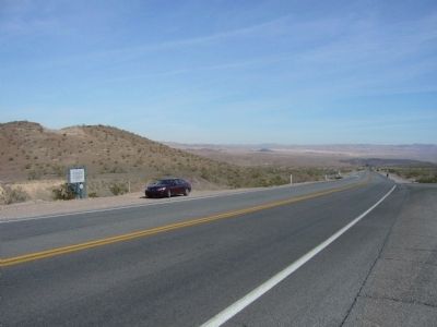
Location. 36° 5.861′ N, 114° 54.277′ W. Marker is near Henderson, Nevada, in Clark County. Marker is on East Lake Mead Drive (Nevada Route 564) 0.1 miles south of Pyrenees Court, on the left when traveling north. Touch for map. Marker is in this post office area: Henderson NV 89015, United States of America. Touch for directions.
Other nearby markers. At least 8 other markers are within 9 miles of this marker, measured as the crow flies. Arrowhead Trail (approx. 7.6 miles away); Bootleg Canyon (approx. 8.2 miles away); McKeeversville, Boulder City's Predecessor (approx. 8.6 miles away); Alunite (approx. 8.6 miles away); Railroad Pass (approx. 8.7 miles away); Boulder City, Nevada (approx. 9 miles away); Hoover Dam Turbine Runner (approx. 9 miles away); Puddler's Break (approx. 9.1 miles away). Touch for a list and map of all markers in Henderson.
Credits. This page was last revised on October 12, 2021. It was originally submitted on March 28, 2010, by Bill Kirchner of Tucson, Arizona. This page has been viewed 1,745 times since then and 30 times this year. Photos: 1, 2, 3. submitted on March 28, 2010, by Bill Kirchner of Tucson, Arizona. • Syd Whittle was the editor who published this page.


