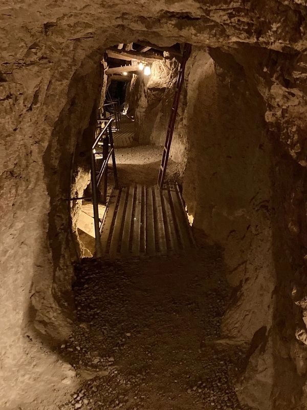
Techatticup Mine
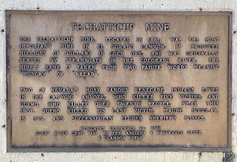
The Techatticup Mine, located in 1861, was the most important mine in El Dorado Canyon. It produced millions of dollars in gold ore, and was originally served by steamboats on the Colorado River. The mine's name is taken from two Paiute words meaning "hungry" or "bread".
Two of Nevada's most famous renegade Indians lived in the canyon; Ahvote, who killed five victims, and Queho, who killed over twenty people. Near this spot, Queho killed his last victim, Maude Douglas, in 1919, and successfully eluded Sheriff's posses.
Erected 2000 by Queho Posse Chpt. #191 E Clampus Vitus.
Topics and series. This historical marker is listed in these topic lists: Industry & Commerce • Law Enforcement • Native Americans • Natural Resources. In addition, it is included in the E Clampus Vitus series list. A significant historical year for this entry is 1861.
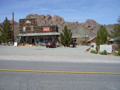
Location. 35° 42.583′ N, 114° 48.205′ W. Marker is near Nelson, Nevada, in Clark County. Marker is on Nevada Route 165, 12.9 miles east of U.S. 95, on the left when traveling east. Touch for map. Marker is in this post office area: Searchlight NV 89046, United States of America. Touch for directions.
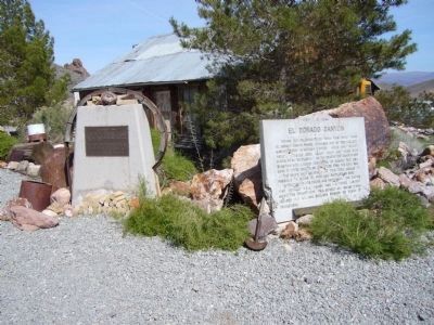
Other nearby markers. At least 8 other markers are within 16 miles of this marker, measured as the crow flies. El Dorado Canyon (here, next to this marker); Queho's Cave (within shouting distance
Also see . . . Queho - Renegade Indian Outlaw. The mystery and legend of renegade Indian, Queho (pronounced Key-Ho), continues to be debated today as to whether he was a scoundrel or a scapegoat. Was the Southern Nevada Indian a true outlaw killer or was he merely blamed by law officers for an abundance of unsolved crimes. (Submitted on April 1, 2010.)
Credits. This page was last revised on April 25, 2023. It was originally submitted on March 30, 2010, by Bill Kirchner of Tucson, Arizona. This page has been viewed 2,122 times since then and 61 times this year. Photos: 1. submitted on April 25, 2023, by Craig Baker of Sylmar, California. 2, 3, 4. submitted on March 30, 2010, by Bill Kirchner of Tucson, Arizona. 5. submitted on April 25, 2023, by Craig Baker of Sylmar, California. • Syd Whittle was the editor who published this page.
