Near Jean in Clark County, Nevada — The American Mountains (Southwest)
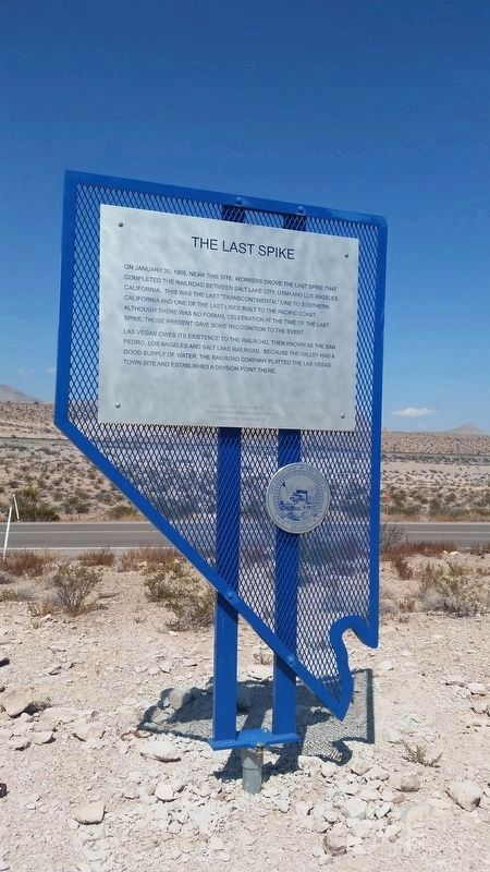
The Last Spike
On January 30, 1905, near this site, workers drove the last spike that completed the railroad between Salt Lake City, Utah, and Los Angeles, California. This was the last "transcontinental" line to Southern California and one of the last lines built to the Pacific Coast. Although there was no formal celebration at the time of the last spike, those present gave some recognition to the event.
Las Vegas owes its existence to the railroad, then known as the San Pedro, Los Angeles and Salt Lake Railroad. Because the valley had a good supply of water, the railroad company platted the Las Vegas town site and established a division point there.
State Historical Marker No. 195
State Historic Preservation Office
Union Pacific Railroad Co
Erected by State Historic Preservation Office. (Marker Number 195.)
Topics. This historical marker is listed in this topic list: Railroads & Streetcars. A significant historical month for this entry is January 1856.
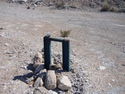
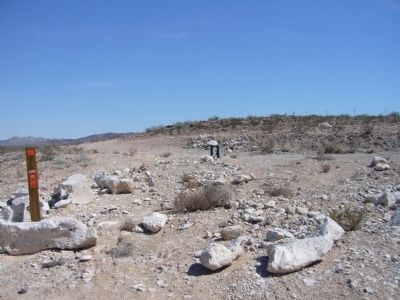
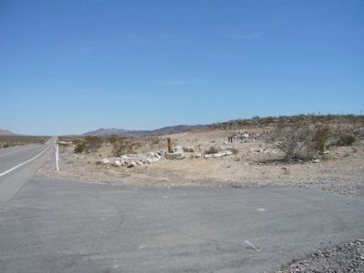
Location. 35° 49.429′ N, 115° 17.248′ W. Marker is near Jean, Nevada, in Clark County. Marker is on Las Vegas Boulevard South (at milepost 9), on the right when traveling north. Marker is 0.14 miles north of railroad underpass. Touch for map. Marker is in this post office area: Jean NV 89019, United States of America. Touch for directions.
Other nearby markers. At least 8 other markers are within 15 miles of this marker, measured as the crow flies. A different marker also named The Last Spike (approx. 1.4 miles away); The Arrowhead Trail Highway (approx. 3.7 miles away); The Yellow Pine Mining Company Railroad (approx. 3.7 miles away); Jean, Nevada (approx. 3.7 miles away); The Pioneer Saloon (approx. 8.1 miles away); Goodsprings Mining District 1856 - 1957 (approx. 8.3 miles away); Good's Spring (approx. 8.3 miles away); Old Spanish Trail (approx. 15 miles away). Touch for a list and map of all markers in Jean.
Credits. This page was last revised on May 5, 2021. It was originally submitted on March 31, 2010. This page has been viewed 1,666 times since then and 54 times this year. Last updated on September 19, 2020, by James Hulse of Medina, Texas. Photos: 1. submitted on September 19, 2020, by James Hulse of Medina, Texas. 2, 3, 4. submitted on March 31, 2010, by Bill Kirchner of Tucson, Arizona. • J. Makali Bruton was the editor who published this page.


