Near Harpers Ferry in Jefferson County, West Virginia — The American South (Appalachia)
Jefferson County / State of Maryland
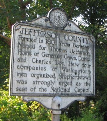
Jefferson County. Formed in 1801 from Berkeley. Named for Thomas Jefferson. Home of Generals Gates, Darke, and Charles Lee. Here four companies of Washington's men organized. Shepherdstown was strongly urged as the seat of the National Capitol.
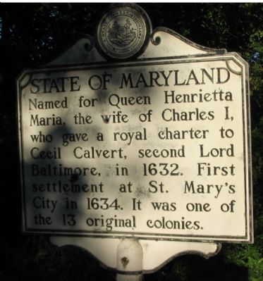
State of Maryland. Named for Queen Henrietta Maria, the wife of Charles I, who gave a royal charter to Cecil Calvert, second Lord Baltimore, in 1632. First settlement at St. Mary's City in 1634. It was one of the 13 original colonies.
Erected by West Virginia Archives & History.
Topics and series. This historical marker is listed in this topic list: Political Subdivisions. In addition, it is included in the West Virginia Archives and History series list. A significant historical year for this entry is 1801.
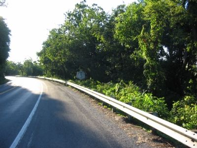
Location. 39° 19.272′ N, 77° 43.148′ W. Marker is near Harpers Ferry, West Virginia, in Jefferson County. Marker is on Jefferson Pike (U.S. 340), on the right when traveling west. Touch for map. Marker is at or near this postal address: 5389 Jefferson Pike, Harpers Ferry WV 25425, United States of America. Touch for directions.
Other nearby markers. At least 8 other markers are within walking distance of this marker. Loudoun Heights Clash (approx. 0.4 miles away in Virginia); Lift Lock 33 (approx. 0.4 miles away in Maryland); Harpers Ferry - Changes through Time (approx. 0.4 miles away in Maryland); The Iron Horse Wins (approx. half a mile away); The Point (approx. half a mile away); The Mule Falters (approx. half a mile away); The Race to the Ohio (approx. half a mile away); Early Travel (approx. half a mile away). Touch for a list and map of all markers in Harpers Ferry.
More about this marker. In reality, the marker stands where West Virginia, Maryland, and Virginia meet. Highway 340 passes from West Virginia to Virginia before crossing the Potomac just a short distance to the east and into Maryland. The Maryland state line is at the south shore of the Potomac, just a few feet north of the marker.
Credits. This page was last revised on February 21, 2021. It was originally submitted on October 13, 2007, by Craig Swain of Leesburg, Virginia. This page has been viewed 2,692 times since then and 18 times this year. Last updated on February 20, 2021, by Carl Gordon Moore Jr. of North East, Maryland. Photos: 1, 2, 3. submitted on October 13, 2007, by Craig Swain of Leesburg, Virginia. • J. Makali Bruton was the editor who published this page.


