Middlebury in New Haven County, Connecticut — The American Northeast (New England)
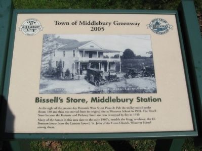
Bissel's Store, Middlebury Station
— Town of Middlebury Greenway 2005 —
Many of the homes in this area date to the early 1900's, notably the Keggi residence, the Eli Bronson house (now the Lamont house), St. John of the Cross Church, Westover School among them.
Erected 2005 by Town of Middlebury.
Topics. This historical marker is listed in these topic lists: Industry & Commerce • Railroads & Streetcars. A significant historical year for this entry is 1908.
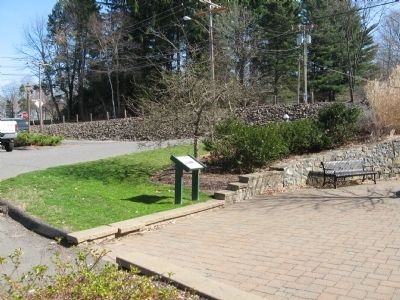
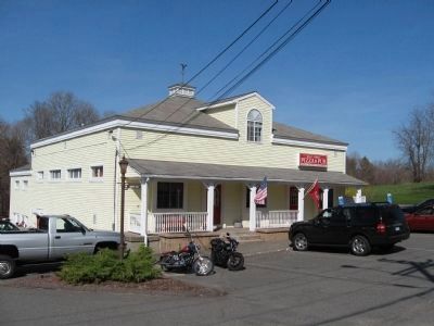
Location. 41° 31.669′ N, 73° 7.683′ W. Marker is in Middlebury, Connecticut, in New Haven County. Marker is at the intersection of Whittemore Road (Connecticut Route 188) and Store Road, on the left when traveling west on Whittemore Road. Located next to Perrotti's West Street Pizza & Pub. Touch for map. Marker is at or near this postal address: 101 Store Road, Middlebury CT 06762, United States of America. Touch for directions.
Other nearby markers. At least 8 other markers are within 2 miles of this marker, measured as the crow flies. Middlebury Blacksmith Shop (about 400 feet away, measured in a direct line); Middlebury Veterans Memorial (approx. ¼ mile away); Middlebury (approx. 0.3 miles away); Julius and Augusta Bronson Farm (approx. 0.4 miles away); Rochambeau Route 1781 – 82 (approx. ¾ mile away); The Trolley (approx. 0.8 miles away); Lake Quassapaug Station (approx. 1.2 miles away); The Middlebury Fire House (approx. 1.3 miles away). Touch for a list and map of all markers in Middlebury.
Credits. This page was last revised on June 16, 2016. It was originally submitted on April 4, 2010, by Michael Herrick of Southbury, Connecticut. This page has been viewed 939 times since then and 14 times this year. Photos: 1, 2, 3, 4. submitted on April 4, 2010, by Michael Herrick of Southbury, Connecticut.


