Near Prince Frederick in Calvert County, Maryland — The American Northeast (Mid-Atlantic)
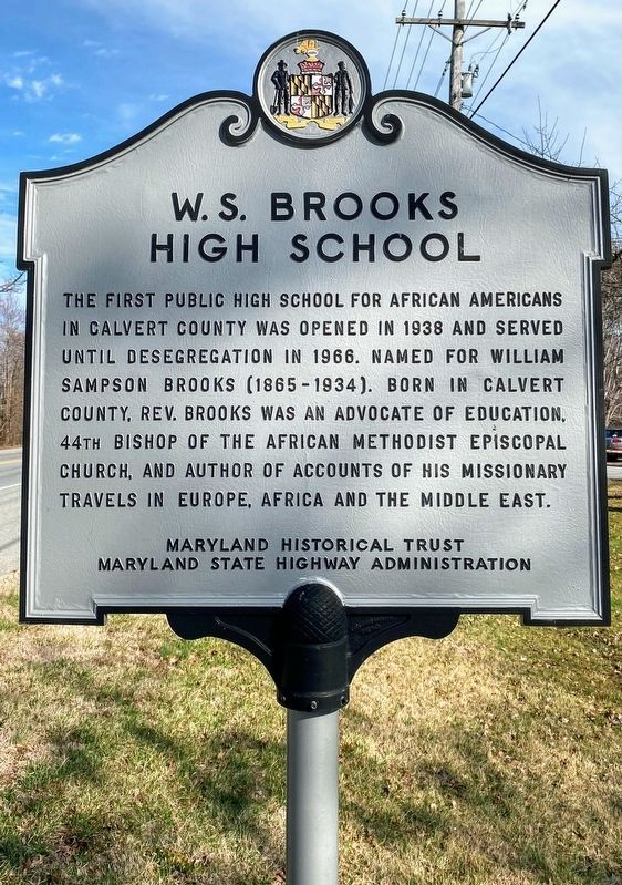
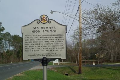
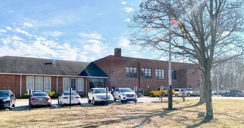
W. S. Brooks High School
Erected by Maryland Historical Trust; Maryland State Highway Administration.
Topics and series. This historical marker is listed in these topic lists: African Americans • Education. In addition, it is included in the African Methodist Episcopal (AME) Church, and the Maryland Historical Trust series lists. A significant historical year for this entry is 1938.
Location. 38° 33.157′ N, 76° 34.321′ W. Marker is near Prince Frederick, Maryland, in Calvert County. Marker is on Dares Beach Road (Maryland Route 402) east of Solomons Island Road (Maryland Route 2), on the right when traveling east. Touch for map. Marker is at or near this postal address: 1350 Dares Beach Rd, Prince Frederick MD 20678, United States of America. Touch for directions.
Other nearby markers. At least 8 other markers are within 5 miles of this marker, measured as the crow flies. Old Wallville School (about 800 feet away, measured in a direct line); Arthur Storer Planetarium (approx. 0.6 miles away); World War Memorial (approx. 1.1 miles away); Veterans Green (approx. 1.1 miles away); Panic in Prince Frederick (approx. 1.1 miles away); Prince Frederick Library “Firsts” (approx. 1.3 miles away); St. John’s Holiness Church (approx. 3.9 miles away); Battle Creek Cypress Swamp (approx. 4.3 miles away). Touch for a list and map of all markers in Prince Frederick.
Credits. This page was last revised on April 19, 2022. It was originally submitted on April 5, 2010, by Tom Fuchs of Greenbelt, Maryland. This page has been viewed 2,115 times since then and 86 times this year. Photos: 1. submitted on April 17, 2022, by Shane Oliver of Richmond, Virginia. 2, 3. submitted on April 5, 2010, by Tom Fuchs of Greenbelt, Maryland. 4. submitted on April 17, 2022, by Shane Oliver of Richmond, Virginia. • J. J. Prats was the editor who published this page.


