Richmond Hill in Bryan County, Georgia — The American South (South Atlantic)
Fort Argyle
Inscription.
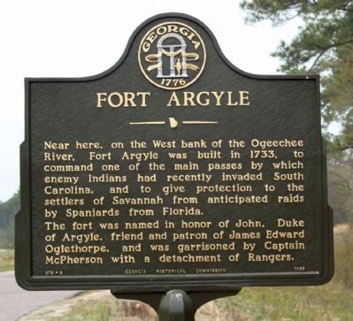
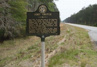
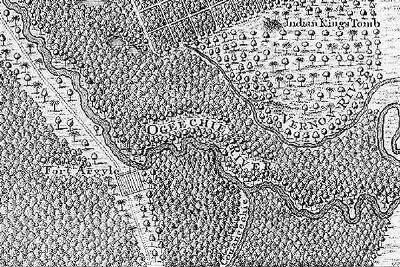
Near here, on the West bank of the Ogeechee River, Fort Argyle was built in 1733, to command one of the main passes by which enemy Indians had recently invaded South Carolina, and to give protection to the settlers of Savannah from anticipated raids by Spaniards from Florida.
The fort was named in honor of John, Duke of Argyle, friend and patron of James Edward Oglethorpe, and was garrisoned by Captain McPherson with a detachment of Rangers.
Erected 1958 by Georgia Historical Commission. (Marker Number 015-9.)
Topics and series. This historical marker is listed in these topic lists: Colonial Era • Forts and Castles • Settlements & Settlers. In addition, it is included in the Georgia Historical Society series list. A significant historical year for this entry is 1733.
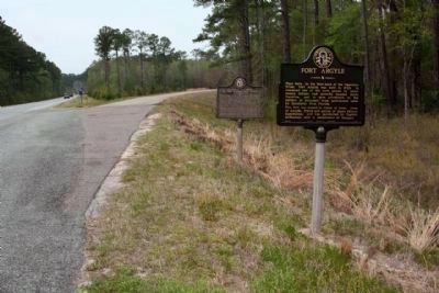
Location. 31° 58.357′ N, 81° 22.603′ W. Marker is in Richmond Hill, Georgia, in Bryan County. Marker is at the intersection of U.S. 144 and State Road 67, on the left when traveling south on U.S. 144. Located within Fort Stewart Military Installation. Touch for map. Marker is in this post office area: Richmond Hill GA 31324, United States of America. Touch for directions.
Other nearby markers. At least 8 other markers are within 5 miles of this marker, measured as the crow flies. Hazen's Division at the Canoochee River (within shouting distance of this marker); Fort McAllister (approx. 4.1 miles away); "Dead Town" of Hardwicke (approx. 4.1 miles away); Courthouse Annex (approx. 4.2 miles away); Ways Station (approx. 4.4 miles away); Henry Ford at Richmond Hill (approx. 4˝ miles away); J. F. Gregory (approx. 4˝ miles away); Richmond Hill Veterans Monument (approx. 4˝ miles away). Touch for a list and map of all markers in Richmond Hill.
Credits. This page was last revised on March 12, 2019. It was originally submitted on April 5, 2010, by Mike Stroud of Bluffton, South Carolina. This page has been viewed 2,388 times since then and 133 times this year. Photos: 1, 2, 3, 4. submitted on April 5, 2010, by Mike Stroud of Bluffton, South Carolina. • Craig Swain was the editor who published this page.


