James Island in Charleston County, South Carolina — The American South (South Atlantic)
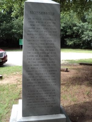
Secessionville
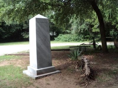
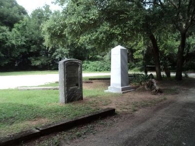
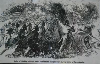
The Battle of Secessionville, fought here on 16 June 1862, broke the Union advance through James Island against Charleston and was the most significant battle of the Civil War in South Carolina.
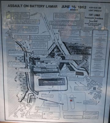
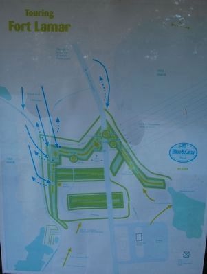
Confederate troops under Col. Thomas G. Lamar defended simple unfinished earthwork later enlarged and named Fort Lamar, which sat in the narrow end of a funnel-shaped strip of high ground flanked by tidal creeks and marsh. Union troops under Henry W. Benham launched several assaults against the earthwork which anchored the eastern end of the Confederate line, but were repulsed with heavy casualties and soon evacuated James Island altogether a few days later.
A total of 683 Federals and 204 Confederates were killed, wounded or captured. Of these totals, 107 Federals and 52 Confederates lost their lives on this battlefield. Walk softly on this hallowed ground.
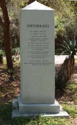
Left Side of Monument:
47th Georgia Infantry
51st Georgia Infantry
4th Louisiana Battalion
1st South Carolina Infantry
(Hagood’s Regiment)
22nd South Carolina Infantry
24th South Carolina Infantry
25th South Carolina Infantry
(Eutaw Regiment)
1st South Carolina Battalion
(Charleston Battalion)
9th South Carolina Battalion
(Pee Dee Battalion)
1st South Carolina Artillery
Boyce’s Light Battery South Carolina Artillery
(MacBeth Light Artillery)
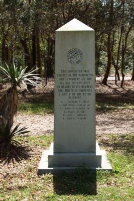
Back of Monument:
This monument was erected by the Washington Light Infantry on the 10th day of May 2003, in memory of its members who served in companies A and B of the Eutaw Regiment.
Sgt. Fleetwood Lanneau, Jr.
Pvt. Thomas N. Gadsen, Jr.
Pvt. Samuel Salters
Pvt. John L. Sheppard
Pvt. John H. Taverner
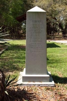
Right side
6th Connecticut Infantry
7th Connecticut Infantry
28th Massachusetts Infantry
8th Michigan Infantry
3rd New Hampshire Infantry
46th New York Infantry
47th New York Infantry
79th New York Infantry
45th Pennsylvania Infantry
76th Pennsylvania Infantry
97th Pennsylvania Infantry
100th Pennsylvania Infantry
1st New York Engineers
3rd United States Artillery
1st Connecticut Light Artillery
3rd Rhode Island Heavy Artillery
1st Massachusetts Cavalry
Erected 2003 by Washington Light Infantry.
Topics. This historical marker is listed in this topic list: War, US Civil. A significant historical month for this entry is May 2003.
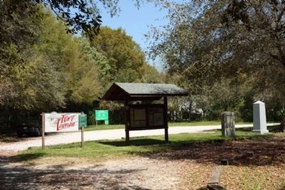
Location. 32° 42.295′ N, 79° 56.761′ W. Marker is on James Island, South Carolina, in Charleston County. Marker is on Fort Lamar Road, on the left when traveling east. Marker is in Fort Lamar on James Island. Touch for map. Marker is in this post office area: Charleston SC 29412, United States of America. Touch for directions.
Other nearby markers. At least 8 other markers are within 2 miles of this marker, measured as the crow flies. Battle of Secessionville (a few steps from this marker); Riversville / Battle of Secessionville (approx. 0.4 miles away); Battery Number 5 (approx. half a mile away); Battery Reed (approx. 0.8 miles away); Hunter's Volunteers (approx. 1½ miles away); Mosquito Beach (approx. 1.6 miles away); Redoubt Number 3 (approx. 1.6 miles away); Battle of Sol-Legare Island (approx. 2.1 miles away). Touch for a list and map of all markers in James Island.
Also see . . .
1. Secessionville. National Park Service website entry (Submitted on August 1, 2009, by Bill Coughlin of Woodland Park, New Jersey.)
2. Fort Lamar Heritage Preserve. SC Great Outdoors website entry (Submitted on February 24, 2024, by Larry Gertner of New York, New York.)
Credits. This page was last revised on February 24, 2024. It was originally submitted on August 1, 2009, by Bill Coughlin of Woodland Park, New Jersey. This page has been viewed 2,742 times since then and 93 times this year. Last updated on April 6, 2010, by Mike Stroud of Bluffton, South Carolina. Photos: 1. submitted on August 6, 2013, by Bill Coughlin of Woodland Park, New Jersey. 2, 3, 4. submitted on April 6, 2010, by Mike Stroud of Bluffton, South Carolina. 5, 6. submitted on August 6, 2013, by Bill Coughlin of Woodland Park, New Jersey. 7. submitted on April 6, 2010, by Mike Stroud of Bluffton, South Carolina. 8, 9, 10, 11. submitted on August 11, 2015, by Brandon Fletcher of Chattanooga, Tennessee. • Kevin W. was the editor who published this page.
