Forks Township near Easton in Northampton County, Pennsylvania — The American Northeast (Mid-Atlantic)
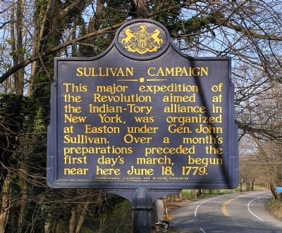
Sullivan Campaign
Erected 1947 by Pennsylvania Historical and Museum Commission.
Topics and series. This historical marker is listed in this topic list: War, US Revolutionary. In addition, it is included in the Pennsylvania Historical and Museum Commission series list. A significant historical month for this entry is June 1864.
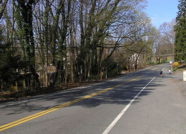
Location. 40° 42.355′ N, 75° 12.759′ W. Marker is near Easton, Pennsylvania, in Northampton County. It is in Forks Township. Marker is on Knox Avenue (Pennsylvania Route 2025) 0 miles west of Sullivan Trail, on the left when traveling north. Touch for map. Marker is at or near this postal address: 950 Knox Ave, Easton PA 18042, United States of America. Touch for directions.
Other nearby markers. At least 8 other markers are within walking distance of this marker. Sullivan Expedition Against the Iroquois Indians (about 300 feet away, measured in a direct line); • G. Herbert McCracken Gate • (approx. 0.4 miles away); Thomas B. Holloway, M.D. (approx. 0.4 miles away); • Edward E. "Hook" Mylin • (approx. 0.4 miles away); Honored French Soldiers Who Died at Yorktown (approx. 0.4 miles away); Wilson Baughman Gaither '15 (approx. 0.4 miles away); Alumni Memorial Plaza (approx. 0.4 miles away); World War Memorial (approx. half a mile away). Touch for a list and map of all markers in Easton.
Related markers. Click here for a list of markers that are related to this marker. To better understand the relationship, study each marker in the order shown.
Credits. This page was last revised on February 7, 2023. It was originally submitted on April 8, 2010, by PaulwC3 of Northern, Virginia. This page has been viewed 919 times since then and 35 times this year. Photos: 1, 2. submitted on April 8, 2010, by PaulwC3 of Northern, Virginia. • Bill Pfingsten was the editor who published this page.

