Mineral Point in Iowa County, Wisconsin — The American Midwest (Great Lakes)
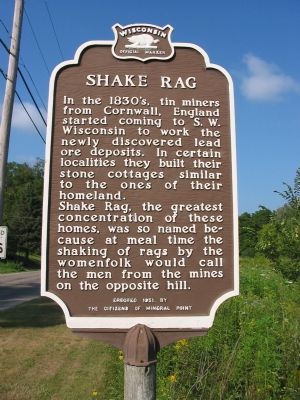
Shake Rag
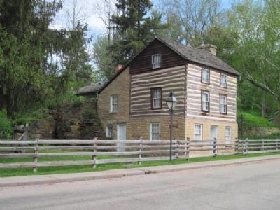
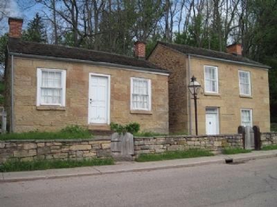
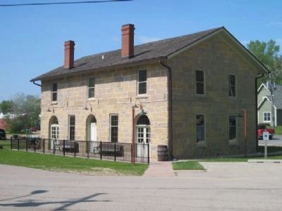
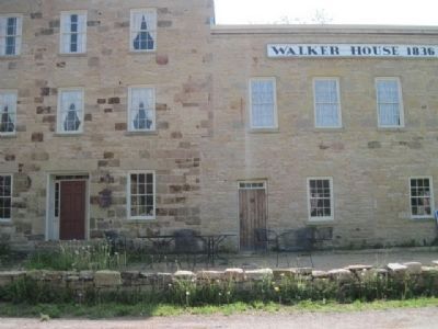
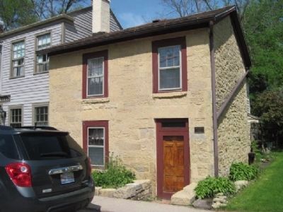
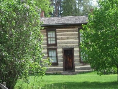
Shake Rag, the greatest concentration of these homes, was so named because at meal time the shaking of rags by the womenfolk would call the men from the mines on the opposite hill.
Erected 1951 by the citizens of Mineral Point. (Marker Number 5.)
Topics and series. This historical marker is listed in this topic list: Settlements & Settlers. In addition, it is included in the Wisconsin Historical Society series list.
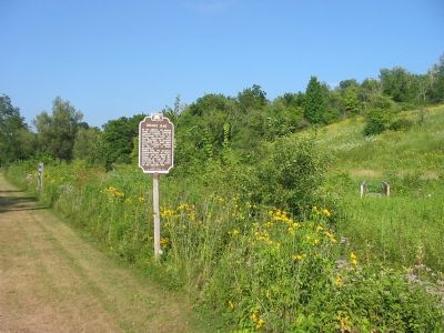
Location. 42° 51.648′ N, 90° 10.524′ W. Marker is in Mineral Point, Wisconsin, in Iowa County. Marker is on Shake Rag Street east of Wisconsin Highway 23, on the right when traveling east. Touch for map. Marker is in this post office area: Mineral Point WI 53565, United States of America. Touch for directions.
Other nearby markers. At least 8 other markers are within 8 miles of this marker, measured as the crow flies. Site of Fort Jackson (approx. 0.2 miles away); Wisconsin Territory (approx. 0.2 miles away); Historic Mineral Point (approx. 0.6 miles away); Laurence F. Graber (approx. 1.1 miles away); Dodge's Grove and Fort Union (approx. 4.8 miles away); Fort Defiance (approx. 5 miles away); Dodge Mining Camp Cabin (approx. 7.2 miles away); Veterans Memorial (approx. 7.3 miles away). Touch for a list and map of all markers in Mineral Point.
Credits. This page was last revised on December 7, 2021. It was originally submitted on October 14, 2007, by Keith L of Wisconsin Rapids, Wisconsin. This page has been viewed 2,063 times since then and 77 times this year. Photos: 1. submitted on October 14, 2007, by Keith L of Wisconsin Rapids, Wisconsin. 2, 3. submitted on June 5, 2011, by Bob (peach) Weber of Dewey, Arizona. 4, 5. submitted on October 14, 2007, by Keith L of Wisconsin Rapids, Wisconsin. 6, 7, 8, 9. submitted on June 5, 2011, by Bob (peach) Weber of Dewey, Arizona. • J. J. Prats was the editor who published this page.
