Sutter Creek in Amador County, California — The American West (Pacific Coastal)
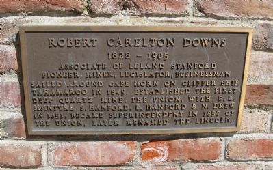
Robert Carlton Downs
1828 – 1905
Topics. This historical marker is listed in these topic lists: Exploration • Industry & Commerce • Settlements & Settlers • Waterways & Vessels. A significant historical year for this entry is 1849.
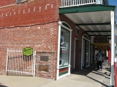
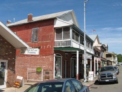
Location. 38° 23.571′ N, 120° 48.181′ W. Marker is in Sutter Creek, California, in Amador County. Marker is at the intersection of Main Street (Old Highway 49) and Fiefield Street, on the left when traveling north on Main Street (Old Highway 49). Marker is mounted on the side of the Hubbell Building. Marker faces Fiefield Street. Touch for map. Marker is at or near this postal address: 39 Main Street, Sutter Creek CA 95685, United States of America. Touch for directions.
Other nearby markers. At least 8 other markers are within walking distance of this marker. William Barker Hubbell (here, next to this marker); Bellotti Inn (a few steps from this marker); Native Sons Hall (within shouting distance of this marker); Levaggi Opera House (within shouting distance of this marker); General John A. Sutter (within shouting distance of this marker); Brignoli Building (within shouting distance of this marker); Sutter Creek (within shouting distance of this marker); Sutter Creek United Methodist Church (about 400 feet away, measured in a direct line). Touch for a list and map of all markers in Sutter Creek.
Also see . . . Sutter Creek, The Lincoln Mine, and Leland Stanford. Leland Stanford received an interest in this mine as payment for debt owned to him. As the mine was not producing, he planned on selling his interest for a mere $5,000. Robert Downs convinced him to hold on for a short time, and then a vein was discovered. The income from this mine led to extraordinary wealth for Leland Stanford. (Submitted on April 16, 2010.)
Credits. This page was last revised on November 3, 2019. It was originally submitted on April 16, 2010, by Syd Whittle of Mesa, Arizona. This page has been viewed 1,166 times since then and 16 times this year. Photos: 1, 2, 3. submitted on April 16, 2010, by Syd Whittle of Mesa, Arizona.


