Upper Saddle River in Bergen County, New Jersey — The American Northeast (Mid-Atlantic)
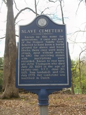
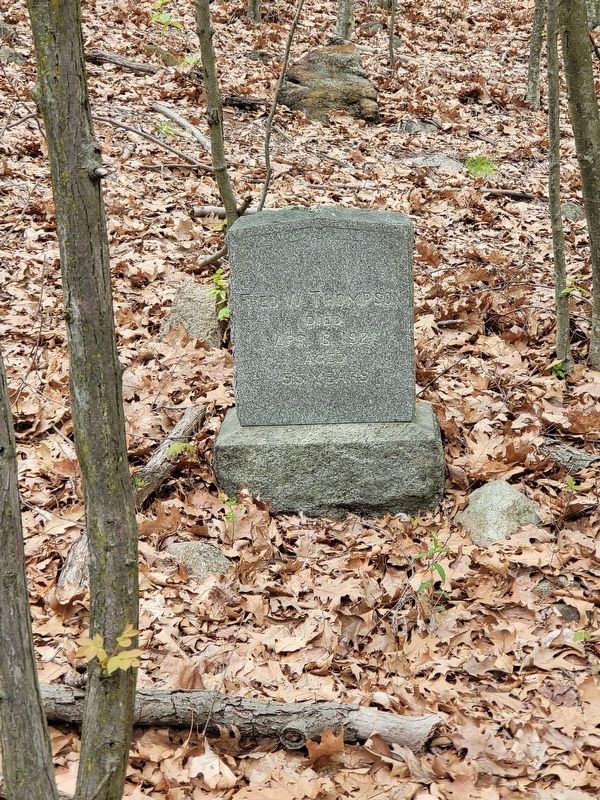
Slave Cemetery
Erected 1987 by Bergen County Historical Society; sponsored by Upper Saddle River Historical Society; Restoration by Troop 33, BSA. (Marker Number 116.)
Topics and series. This historical marker is listed in these topic lists: African Americans • Cemeteries & Burial Sites • Colonial Era. In addition, it is included in the New Jersey, Bergen County Historical Society series list. A significant historical month for this entry is June 1911.
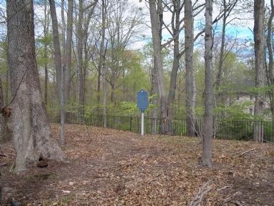
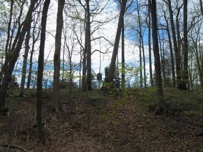
Location. 41° 3.997′ N, 74° 5.378′ W. Marker is in Upper Saddle River, New Jersey, in Bergen County. Marker is on Knights Court west of Saddle River Road, on the left when traveling west. Marker is located on a high point in the woods behind some private homes on Knights Court. Touch for map. Marker is at or near this postal address: 37 Knights Court, Saddle River NJ 07458, United States of America. Touch for directions.
Other nearby markers. At least 8 other markers are within 3 miles of this marker, measured as the crow flies. Saddle River Reformed Church and Cemetery (approx. 0.3 miles away); Hopper-Goetschius House (approx. 0.6 miles away); Eckerson House (approx. 1.2 miles away); Master Sergeant Charles E. Hosking, Jr. Memorial (approx. 2.4 miles away); Haring Homestead (approx. 2.4 miles away in New York); Saddle River 9 – 11 Memorial (approx. 2˝ miles away); Saddle River Veterans Monument (approx. 2˝ miles away); Ackerman – Pell House (approx. 2˝ miles away). Touch for a list and map of all markers in Upper Saddle River.
Also see . . . Bergen County Historical Society. (Submitted on April 18, 2010, by Bill Coughlin of Woodland Park, New Jersey.)
Credits. This page was last revised on May 18, 2022. It was originally submitted on April 18, 2010, by Bill Coughlin of Woodland Park, New Jersey. This page has been viewed 5,735 times since then and 65 times this year. Photos: 1. submitted on April 18, 2010, by Bill Coughlin of Woodland Park, New Jersey. 2. submitted on May 14, 2022, by Michael Grisafi of Mahwah, New Jersey. 3, 4. submitted on April 18, 2010, by Bill Coughlin of Woodland Park, New Jersey.


