Near Rusk in Cherokee County, Texas — The American South (West South Central)
Site of Tassie Belle and Star and Crescent Iron Ore Furnaces
Inscription.
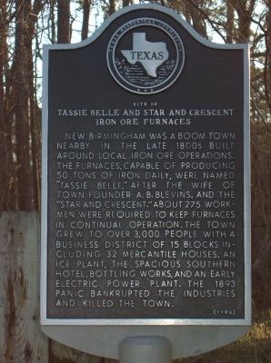
New Birmingham was a boom town nearby in the late 1880s built around local iron ore operations. The furnaces, capable of producing 50 tons of iron daily, were named "Tassie Belle," after the wife of the town founder A. B. Bevins, and the "Star and Crescent." About 275 workmen were required to keep furnaces in continual operation. The town grew to over 3,000 people with a business district of 15 blocks including 32 mercantile houses, an ice plant, the spacious Southern Hotel, bottling works, and an early electric power plant. The 1893 panic bankrupted the industries and killed the town.
Erected 1996 by Texas Historical Commission. (Marker Number 6869.)
Topics. This historical marker is listed in this topic list: Industry & Commerce. A significant historical year for this entry is 1893.
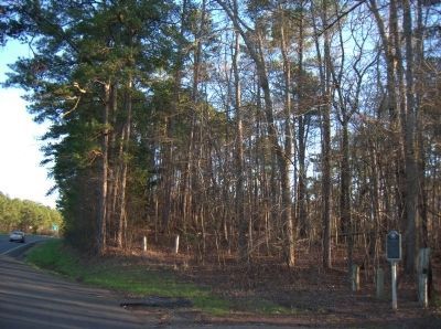
Location. 31° 46.647′ N, 95° 7.237′ W. Marker is near Rusk, Texas, in Cherokee County. Marker is on U.S. 69 south of Farm to Market 343 (State Highway 343), on the right when traveling south. The marker is 3 miles south of Rusk. Touch for map. Marker is in this post office area: Rusk TX 75785, United States of America. Touch for directions.
Other nearby markers. At least 8 other markers are within 2 miles of this marker, measured as the crow flies. C.S.A. Prisoner of War Compound (approx. 1˝ miles away); Cedar Hill Cemetery (approx. 1.7 miles away); Site of Rusk College (approx. 1.9 miles away); Site of Cook's Fort (approx. 1.9 miles away); Rusk Footbridge (approx. 2 miles away); The James I. Perkins Family Home (approx. 2 miles away); First United Methodist Church of Rusk (approx. 2 miles away); Old Bonner Bank Building (approx. 2.1 miles away). Touch for a list and map of all markers in Rusk.
Credits. This page was last revised on April 8, 2023. It was originally submitted on April 23, 2010, by Gregory Walker of La Grange, Texas. This page has been viewed 2,169 times since then and 110 times this year. Photos: 1, 2. submitted on April 23, 2010, by Gregory Walker of La Grange, Texas. • Syd Whittle was the editor who published this page.

