Cypress Hills in Brooklyn in Kings County, New York — The American Northeast (Mid-Atlantic)
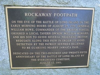
Rockaway Footpath
Dedicated on the two-hundred and twenty-fifth
anniversary of the Battle of Long Island by
the Evergreens Cemetery,
August 12, 2001.
Erected 2001 by Evergreens Cemetery.
Topics. This historical marker is listed in this topic list: War, US Revolutionary. A significant historical year for this entry is 1776.
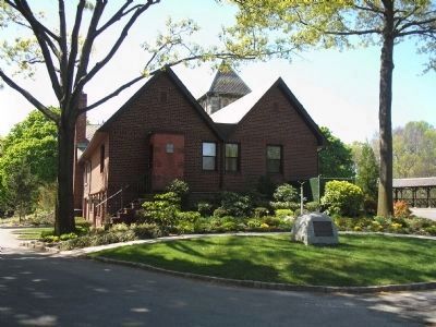
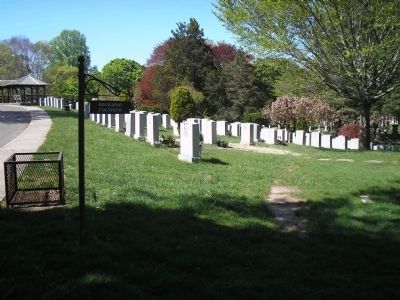
Location. 40° 41.077′ N, 73° 54.022′ W. Marker is in Brooklyn, New York, in Kings County. It is in Cypress Hills. Marker is on Bushwick Avenue, on the right when traveling west. Marker is located in Evergreen Cemetery near the office. Touch for map. Marker is at or near this postal address: 1629 Bushwick Avenue, Brooklyn NY 11207, United States of America. Touch for directions.
Other nearby markers. At least 8 other markers are within walking distance of this marker. Howard’s Inn – Evergreen Cemetery (approx. ¼ mile away); Rudd Playground (approx. ¼ mile away); Thomas Boyland Park (approx. 0.4 miles away); Callahan-Kelly Playground (approx. half a mile away); Hull Street Community Garden (approx. half a mile away); New Hope Pentecostal Church of Greater Mt. Zion Inc. (approx. 0.7 miles away); Marion & Hopkinson Playground (approx. 0.7 miles away); a different marker also named Marion & Hopkinson Playground (approx. ¾ mile away). Touch for a list and map of all markers in Brooklyn.
Also see . . . Evergreen Cemetery website. (Submitted on April 24, 2010, by Bill Coughlin of Woodland Park, New Jersey.)
Credits. This page was last revised on January 31, 2023. It was originally submitted on April 24, 2010, by Bill Coughlin of Woodland Park, New Jersey. This page has been viewed 2,296 times since then and 69 times this year. Photos: 1, 2, 3, 4. submitted on April 24, 2010, by Bill Coughlin of Woodland Park, New Jersey.


