Horrell Hill in Richland County, South Carolina — The American South (South Atlantic)
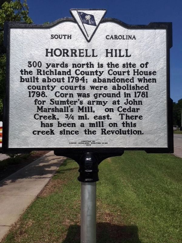
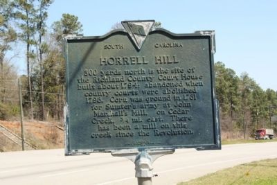
Horrell Hill
Erected 1975 by The Lower Richland Ruritan Club, replacing a marker erected in 1938 by the Columbia Sesquicentennial Commission of 1936. (Marker Number 40-29.)
Topics. This historical marker is listed in these topic lists: Settlements & Settlers • War, US Revolutionary. A significant historical year for this entry is 1794.
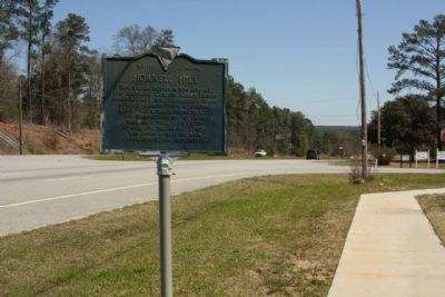
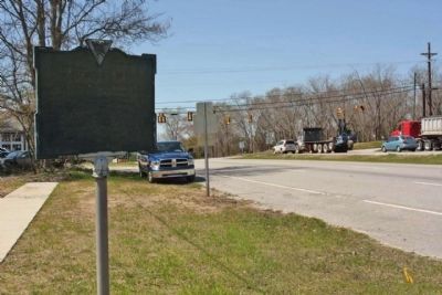
Location. 33° 57.092′ N, 80° 50.535′ W. Marker is in Horrell Hill, South Carolina, in Richland County. Marker is on Garners Ferry Road (U.S. 76, 378) near Horrell Hill Road (South Carolina Highway 86), on the right when traveling east. Touch for map. Marker is in this post office area: Hopkins SC 29061, United States of America. Touch for directions.
Other nearby markers. At least 8 other markers are within 5 miles of this marker, measured as the crow flies. New Light Beulah Baptist Church (approx. 1½ miles away); Barnie Jordan Jr. Memorial Highway (approx. 2.1 miles away); Minervaville (approx. 3.6 miles away); James H. Adams (approx. 3.6 miles away); Robert H. Morrell Road (approx. 3.7 miles away); Hopkins (approx. 3.8 miles away); Harriet Barber House (approx. 4.4 miles away); a different marker also named Harriet Barber House (approx. 4½ miles away).
Credits. This page was last revised on June 26, 2018. It was originally submitted on April 27, 2010, by Mike Stroud of Bluffton, South Carolina. This page has been viewed 1,091 times since then and 45 times this year. Photos: 1. submitted on June 26, 2018, by Randy Tucker of Greenville, South Carolina. 2, 3, 4. submitted on April 27, 2010, by Mike Stroud of Bluffton, South Carolina.
Editor’s want-list for this marker. Pictures of the Mill on Cedar Creek, past or present • Can you help?


