St. Simons Island in Glynn County, Georgia — The American South (South Atlantic)
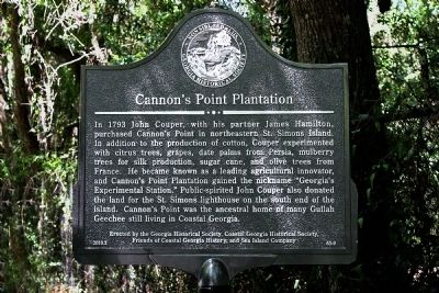
Cannon's Point Plantation
In 1793 John Couper, with his partner James Hamilton, purchased Cannon's Point in northeastern St. Simons Island. In addition to the production of cotton, Couper experimented with citrus trees, grapes, date palms from Persia, mulberry trees for silk production, sugar cane, and olive trees from France. He became known as a leading agricultural innovator, and Cannon's Point Plantation gained the nickname "Georgia's Experimental Station." Public-spirited John Couper also donated the land for the St. Simons lighthouse on the south end of the island. Cannon's Point was the ancestral home of many Gullah Geechee still living in coastal Georgia.
Erected 2010 by Georgia Historical Society, Coastal Georgia Historical Society, Friends of Coastal Georgia History, and Sea Island Company. (Marker Number 63-9.)
Topics and series. This historical marker is listed in this topic list: Notable Places. In addition, it is included in the Georgia Historical Society, and the Lighthouses series lists. A significant historical year for this entry is 1793.
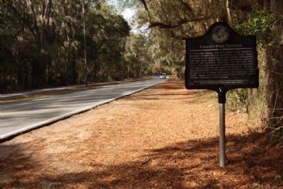
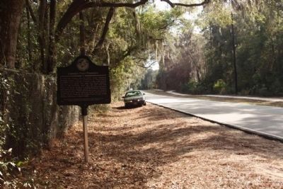
Location. 31° 15.203′ N, 81° 21.143′ W. Marker is on St. Simons Island, Georgia, in Glynn County. Marker is on Lawrence Road, 3 miles north of Frederica Road, on the right when traveling north. Touch for map . Marker is in this post office area: Saint Simons Island GA 31522, United States of America. Touch for directions.
Other nearby markers. At least 8 other markers are within 3 miles of this marker, measured as the crow flies. Hampton Plantation (about 800 feet away, measured in a direct line); Pike's Bluff (approx. 0.9 miles away); Sinclair Plantation (approx. 1.2 miles away); German Village (approx. 1.8 miles away); Harrington Hall (approx. 2.4 miles away); The Georgia Navy (approx. 2.9 miles away); William Bartram Trail (approx. 2.9 miles away); St. Simons Island (approx. 3 miles away). Touch for a list and map of all markers in St. Simons Island.
Additional keywords. Couper, Hamilton, plantation, cotton, St. Simons, Georgia, innovator, experimental, lighthouse
Credits. This page was last revised on November 23, 2020. It was originally submitted on April 27, 2010, by Patrick R Saylor of Saint Simons Island, Georgia. This page has been viewed 2,550 times since then and 53 times this year. Photos: 1. submitted on April 27, 2010, by Patrick R Saylor of Saint Simons Island, Georgia. 2, 3. submitted on March 13, 2012, by Mike Stroud of Bluffton, South Carolina. • Bill Pfingsten was the editor who published this page.


