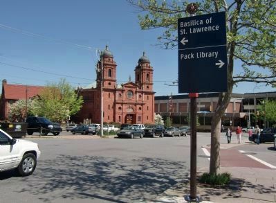
Asheville in Buncombe County, North Carolina — The American South (South Atlantic)
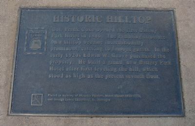
Historic Hilltop
Asheville Urban Trail
Placed in memory of Maurice Packett, Hotel Owner, 1951 to 1971, and Paul Lewis Chumbley, Jr., Manager.
Erected by Asheville Urban Trail.
Topics. This historical marker is listed in these topic lists: Industry & Commerce • Notable Buildings. A significant historical year for this entry is 1886.
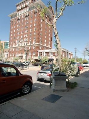
Location. 35° 35.768′ N, 82° 33.377′ W. Marker is in Asheville, North Carolina, in Buncombe County. Marker can be reached from Page Avenue south of Battle Square Avenue. Marker is in the sidewalk on Page Avenue, southeast of the intersection, and about two blocks south of the Haywood Avenue exit off I-240/US70. Touch for map. Marker is at or near this postal address: 1 Battle Square Avenue, Asheville NC 28801, United States of America. Touch for directions.
Other nearby markers. At least 8 other markers are within walking distance of this marker. Battery Porter (within shouting distance of this marker); Raphael Guastavino (about 300 feet away, measured in a direct line); Anne Penland (about 300 feet away); Shopping Daze (about 400 feet away); Sweet Harmonies (about 400 feet away); Shifting Landscapes (about 400 feet away); Flat Iron Architecture (about 500 feet away); Cat Walk (about 600 feet away). Touch for a list and map of all markers in Asheville.
Also see . . .
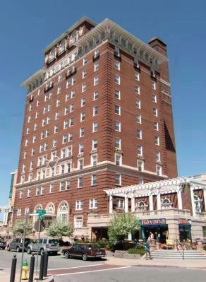
1. Battery Park Hotel - National Register of Historic Places. ...The hotel continued in operation until 1972. During the 1980s, the Asheville Housing Authority, a private developer, converted the old hotel into apartments for senior citizens. Today, Battery Park continues to stand as a sentinel over the downtown. (Submitted on May 1, 2010, by Richard E. Miller of Oxon Hill, Maryland.)
2. Asheville Urban Trail. (Submitted on May 1, 2010, by Richard E. Miller of Oxon Hill, Maryland.)
Additional keywords. St. Lawrence Basilica
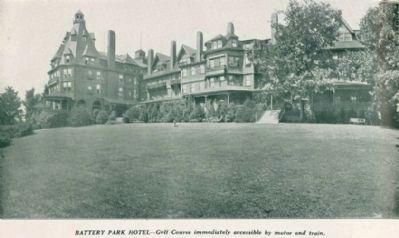
ca. 1900
5. Hilltop Resort - The original Battery Park Hotel
(caption title) Asheville--the Ideal Autumn and Winter Resort City
(cover) Autumn and Winter in Asheville Life Outdoors
Southern Railway (U.S.). Passenger Traffic Dept.
[20] p., ill.
Washington, DC
Passenger Traffic Dept., Southern Railway Co.
[1900?]
Call number Cp971.11 A82s (North Carolina Collection, University of North Carolina at Chapel Hill)
Credits. This page was last revised on June 16, 2016. It was originally submitted on April 29, 2010, by Richard E. Miller of Oxon Hill, Maryland. This page has been viewed 1,154 times since then and 20 times this year. Photos: 1, 2, 3, 4, 5, 6. submitted on May 1, 2010, by Richard E. Miller of Oxon Hill, Maryland. • Kevin W. was the editor who published this page.
