Near Sykesville in Carroll County, Maryland — The American Northeast (Mid-Atlantic)
Hood’s Mill
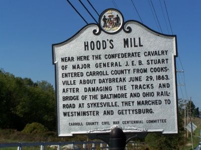
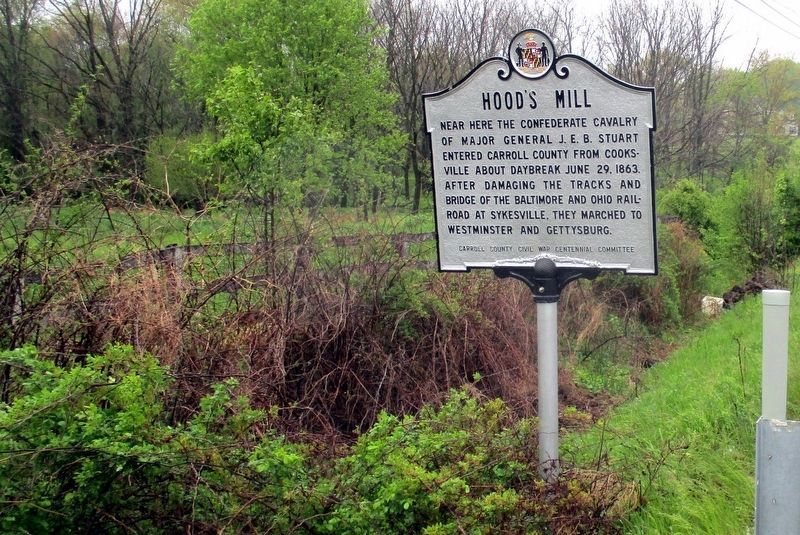
Near here the Confederate cavalry of Major General J.E.B. Stuart entered Carroll County from Cooksville about daybreak June 29, 1863. After damaging the tracks and bridge of the Baltimore and Ohio Railroad at Sykesville, they marched to Westminster and Gettysburg.
Erected by Carroll County Civil War Centennial Committee.
Topics. This historical marker is listed in these topic lists: Bridges & Viaducts • Railroads & Streetcars • War, US Civil. A significant historical date for this entry is June 29, 1827.
Location. 39° 22.814′ N, 77° 1.124′ W. Marker is near Sykesville, Maryland, in Carroll County. Marker is on Old Washington Road (Maryland Route 97) 0.2 miles south of Eden Mill Road, on the right when traveling south. Touch for map. Marker is in this post office area: Sykesville MD 21784, United States of America. Touch for directions.
Other nearby markers. At least 8 other markers are within 3 miles of this marker, measured as the crow flies. Springfield Presbyterian Church (approx. 2˝ miles away); The Historic Sykesville Colored Schoolhouse (approx. 2.6 miles away); Veterans Memorial (approx. 2.8 miles away); Millard Cooper (approx. 2.8 miles away); The Gate House (approx. 2.8 miles away); The Strawbridge Home for Boys (approx. 2.8 miles away); The Town House (approx. 2.8 miles away); St. Joseph's Roman Catholic Church (approx. 2.9 miles away). Touch for a list and map of all markers in Sykesville.
Credits. This page was last revised on July 14, 2022. It was originally submitted on October 16, 2007, by Bill Pfingsten of Bel Air, Maryland. This page has been viewed 3,035 times since then and 82 times this year. Last updated on May 14, 2019, by Larry Gertner of New York, New York. Photos: 1. submitted on October 16, 2007, by Bill Pfingsten of Bel Air, Maryland. 2. submitted on March 22, 2008, by Christopher Busta-Peck of Shaker Heights, Ohio. 3. submitted on May 14, 2019, by Larry Gertner of New York, New York. 4. submitted on May 9, 2022, by Larry Gertner of New York, New York. • Andrew Ruppenstein was the editor who published this page.


