St. Marys in Auglaize County, Ohio — The American Midwest (Great Lakes)
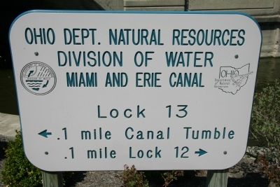
Miami and Erie Canal
Lock 13
— Ohio Dept. Natural Resources, Division of Water —
Division of Water
Miami and Erie Canal
Lock 13
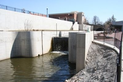
<- .1 mile Canal Tumble
.1 mile Lock 12 ->
Erected by Ohio Dept. Natural Resources, Division of Water.
Topics. This historical marker is listed in these topic lists: Industry & Commerce • Waterways & Vessels.
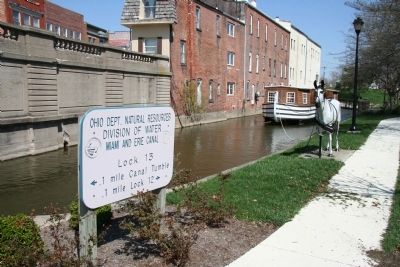
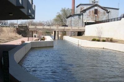
Location. 40° 32.603′ N, 84° 23.241′ W. Marker is in St. Marys, Ohio, in Auglaize County. Marker can be reached from East Spring Street (Route 29) near South Chestnut Street, on the right when traveling east. This historical marker is located in a downtown community park that is located off of West South Street between West Chestnut Street and the St. Marys River. The historical marker is physically situated just north of the east end of a covered bridge, along the south side of the Miami and Erie Canal,in the area of the park that is located between the St. Marys River and the Miami and Erie Canal. Touch for map. Marker is in this post office area: Saint Marys OH 45885, United States of America. Touch for directions.
Other nearby markers. At least 8 other markers are within walking distance of this marker. The "Short Level" of the Miami and Erie Canal (here, next to this marker); The headwaters of the St. Marys River lie just southeast of the City of St. Marys. (a few steps from this marker); Memorial Park (a few steps from this marker); Saint Marys River (a few steps from this marker); St. Marys Veterans Memorial (a few steps from this marker); 136 East Spring Street (within shouting distance of this marker); 8-inch Rodman Gun (within shouting distance of this marker); With Honor and Remembrance (within shouting distance of this marker). Touch for a list and map of all markers in St. Marys.
Credits. This page was last revised on June 16, 2016. It was originally submitted on May 1, 2010, by Dale K. Benington of Toledo, Ohio. This page has been viewed 1,210 times since then and 18 times this year. Photos: 1, 2, 3, 4. submitted on May 1, 2010, by Dale K. Benington of Toledo, Ohio.


