Near Strasburg in Shenandoah County, Virginia — The American South (Mid-Atlantic)
Hupp's Hill
The Battle of Hupp's Hill or Stickley's Farm
— 1864 Valley Campaign —
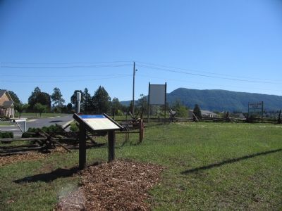
Photographed By Craig Swain, September 29, 2007
1. Hupp's Hill Marker
Battle of Cedar Creek Virtual Tour by related HMDb markers.
Click for more information.
Click for more information.
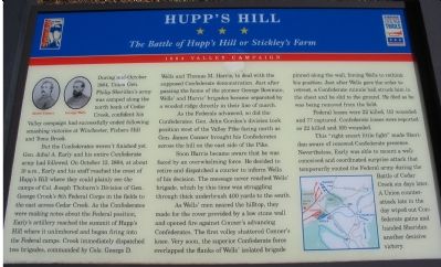
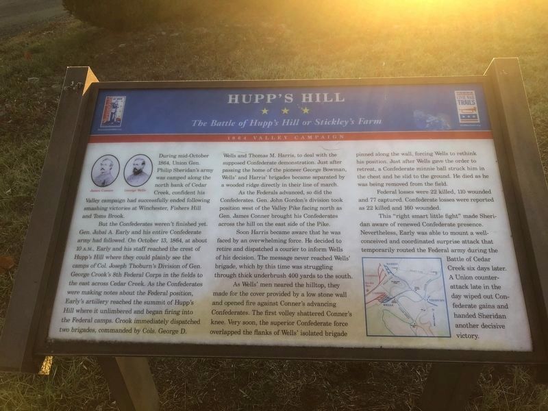
During mid-October 1864, Union Gen. Philip Sheridan's army was camped along the north bank of Cedar Creek, confident his Valley campaign had successfully ended following smashing victories at Winchester, Fishers Hill and Toms Brook.
But the Confederates weren't finished yet. Gen. Jubal A. Early and his entire Confederate army had followed. On October 13, 1864, at about 10 a.m., Early and his staff reached the crest of Hupp's Hill where they could plainly see the camps of Col. Joseph Thoburn's Division of Gen. George Crook's 8th Federal Corps in the fields to the east across Cedar Creek. As the Confederates were making notes about the Federal position, Early's artillery reached the summit of Hupp's Hill where it unlimbered and began firing into the Federal camps. Crook immediately dispatched two brigades, commanded by Cols. George D. Wells and Thomas M. Harris, to deal with the supposed Confederate demonstration. Just after passing the home of the pioneer George Bowman, Wells' and Harris' brigades became separated by a wooded ridge directly in their line of march.
As the Federals advanced, so did the Confederates. Gen. John Gordon's division took position west of the Valley Pike facing north as Gen. James Conner brought his Confederates across the hill on the east side of the Pike.
Soon Harris became aware that he was faced by an overwhelming force. He decided to retire and dispatched a courier to inform Wells of his decision. The message never reached Wells' brigade, which by this time was struggling through thick underbrush 400 yards to the south.
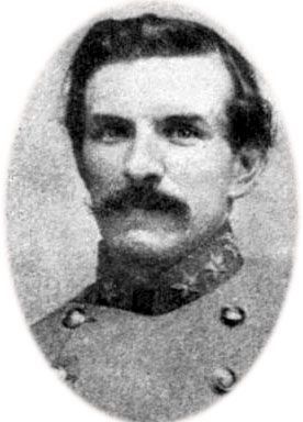
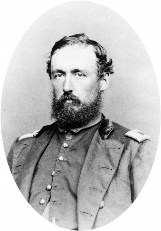
As Wells' men neared the hilltop, they made for the cover provided by a low stone wall and opened fire against Conner's advancing Confederates. The first volley shattered Conner's knee. Very soon, the superior Confederate force overlapped the flanks of Wells' isolated brigade pinned along the wall, forcing Wells to rethink his position. Just after Wells gave the order to retreat, a Confederate minnie ball struck him in the chest and he slid to the ground. He died as he was being removed from the field
Federal losses were 22 killed, 110 wounded and 77 captured. Confederate losses were reported as 22 killed and 160 wounded.
This "right smart little fight" made Sheridan aware of renewed Confederate presence. Nevertheless, Early was able to mount a well-conceived and coordinated surprise attack that temporarily routed the Federal army during the Battle of Cedar Creek six days later. A Union counterattack late in the day wiped out Confederate gains and handed Sheridan another decisive victory.
Erected by Civil War Trails.
Topics and series. This historical marker is listed in
Photographed By Devry Becker Jones (CC0), October 31, 2020
2. Hupp's Hill Marker
The image has weathered.
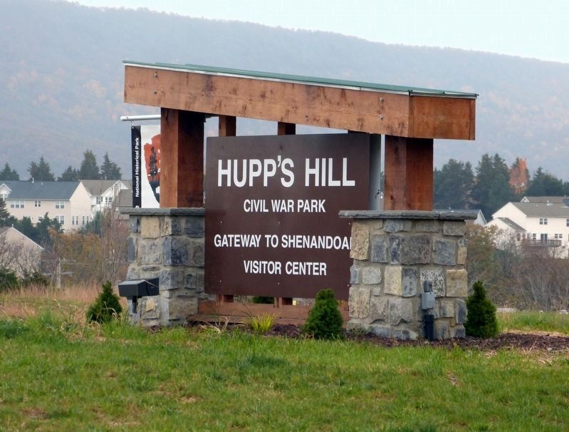
Location. 38° 59.958′ N, 78° 20.913′ W. Marker is near Strasburg, Virginia, in Shenandoah County. Marker is at the intersection of Old Valley Pike (U.S. 11) and Signal Knob Drive, on the right when traveling south on Old Valley Pike. Located at the entrance to Hupp's Hill Historic Park / Crystal Caverns. Touch for map. Marker is at or near this postal address: 33229 Old Valley Pike, Strasburg VA 22657, United States of America. Touch for directions.
Other nearby markers. At least 8 other markers are within walking distance of this marker. Trenches On Hupp's Hill (a few steps from this marker); Lower Cave (about 300 feet away, measured in a direct line); Crystal Caverns Mine (about 300 feet away); Signal Knob (about 400 feet away); Hupp's "Little Gem" (about 400 feet away); a different marker also named Hupp’s Hill (about 500 feet away); Strasburg (about 500 feet away); Trail Head (about 500 feet away). Touch for a list and map of all markers in Strasburg.
More about this marker. On the upper left of the marker are portraits of James Conner and George Wells. On the lower right is a map of the maneuvers described in the text.
Also see . . .
1. Hupp's Hill. The location is tour stop 1 on the Center of Military History's guide to the Battle of Cedar Creek. (Submitted on October 18, 2007, by Craig Swain of Leesburg, Virginia.)
2. Stonewall Jackson Museum at Hupp's Hill. (Submitted on October 18, 2007, by Craig Swain of Leesburg, Virginia.)
Credits. This page was last revised on June 14, 2022. It was originally submitted on October 18, 2007, by Craig Swain of Leesburg, Virginia. This page has been viewed 3,965 times since then and 33 times this year. Photos: 1. submitted on October 18, 2007, by Craig Swain of Leesburg, Virginia. 2. submitted on October 31, 2020, by Devry Becker Jones of Washington, District of Columbia. 3. submitted on October 18, 2007, by Craig Swain of Leesburg, Virginia. 4, 5, 6. submitted on May 20, 2018, by Allen C. Browne of Silver Spring, Maryland.
