James Island in Charleston County, South Carolina — The American South (South Atlantic)
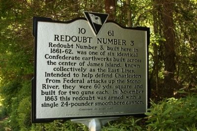
Redoubt Number 3
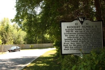
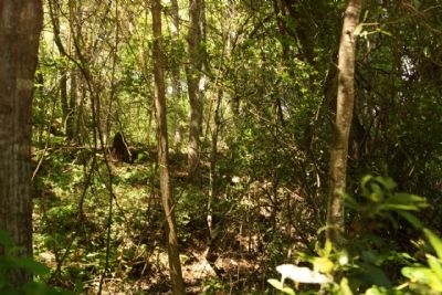
Redoubt Number 3, built here in 1861-62, was one of six identical Confederate earthworks built across the enter of James Island, known collectively as the East Lines. Intended to help defend Charleston from Federal attacks up the Stono River, they were 60 yds. square and built for two guns each. In November 1863 this redoubt was armed with a single 24-pounder smoothbore cannon.
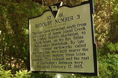
(Reverse text)
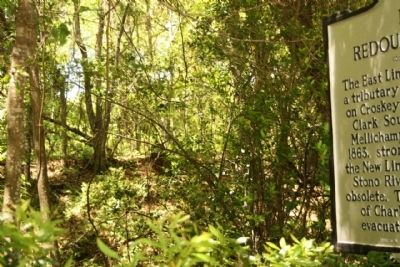
The East Lines stretched south from a tributary of James Island Creek, on Croskey Royall’s plantation, to Clark Sound, on the Rev. Stiles Mellichamp’s plantation. By late 1863, stronger earthworks, called the New Lines, were built nearer the Stono River, making these lines obsolete. This redoubt and the rest of Charleston’s defenses were evacuated February 17, 1865.
Erected 2008 by The South Carolina Battleground Preservation Trust. (Marker Number 10-61.)
Topics. This historical marker is listed in this topic list: War, US Civil. A significant historical date for this entry is February 17, 1925.
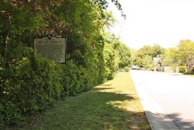
Location. 32° 43.593′ N, 79° 56.289′ W. Marker is on James Island, South Carolina, in Charleston County. Marker is on 5 Oaks Court, on the right when traveling south. Located Approx. 150 yards south of Fort Johnson Road along 5 Oaks Court, Patriot Plantation, Secessionville area. Touch for map. Marker is in this post office area: Charleston SC 29412, United States of America. Touch for directions.
Other nearby markers. At least 8 other markers are within 2 miles of this marker, measured as the crow flies. Battery Reed (approx. 0.8 miles away); Riversville / Battle of Secessionville (approx. 1.4 miles away); Battle of Secessionville (approx. 1.6 miles away); Secessionville (approx. 1.6 miles away); Battery Number 5 (approx. 1.6 miles away); Battery Haskell (approx. 1.6 miles away); Hunter's Volunteers (approx. 1.9 miles away); Battery Cheves (approx. 2 miles away). Touch for a list and map of all markers in James Island.
Credits. This page was last revised on February 16, 2023. It was originally submitted on May 11, 2010, by Mike Stroud of Bluffton, South Carolina. This page has been viewed 1,877 times since then and 72 times this year. Photos: 1, 2, 3, 4, 5, 6. submitted on May 11, 2010, by Mike Stroud of Bluffton, South Carolina.
