Near Milam in Sabine County, Texas — The American South (West South Central)
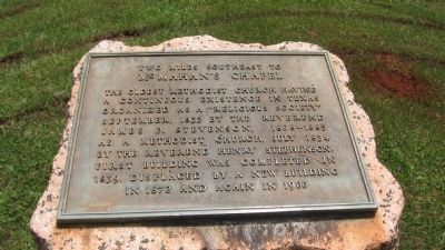
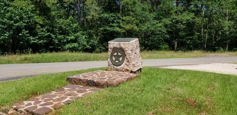
Two Miles Southeast to McMahan's Chapel
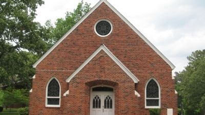
McMahan’s Chapel
Erected 1936 by State of Texas. (Marker Number 20173.)
Topics and series. This historical marker is listed in this topic list: Churches & Religion. In addition, it is included in the Texas 1936 Centennial Markers and Monuments series list.
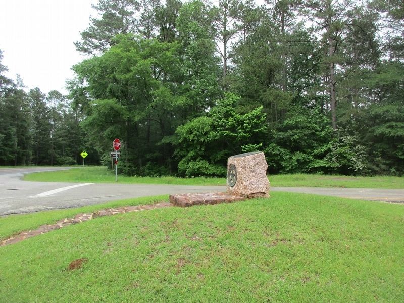
Location. 31° 28.932′ N, 93° 58.476′ W. Marker is near Milam, Texas, in Sabine County. Marker is at the intersection of State Highway 21 and Route 35 Spur, on the right when traveling east on State Highway 21. Touch for map. Marker is in this post office area: Milam TX 75959, United States of America. Touch for directions.
Other nearby markers. At least 8 other markers are within 4 miles of this marker, measured as the crow flies. County Line Baptist Church and Cemetery (approx. 1.4 miles away); A Snapshot In Time?/¿Una instantánea en el tiempo? (approx. 1½ miles away); El Camino Real de los Tejas 1680-1845 (approx. 1½ miles away); McMahan's Chapel (approx. 1.9 miles away); a different marker also named McMahan's Chapel (approx. 2 miles away); Chapel Hill Cemetery (approx. 2.7 miles away); Thompson Family (approx. 2.7 miles away); Kings Highway Camino Real — Old San Antonio Road (approx. 3.4 miles away).
Credits. This page was last revised on April 25, 2023. It was originally submitted on May 15, 2010, by Steve Gustafson of Lufkin, Texas. This page has been viewed 682 times since then and 13 times this year. Last updated on April 24, 2023, by Jeff Leichsenring of Garland, Texas. Photos: 1. submitted on May 15, 2010, by Steve Gustafson of Lufkin, Texas. 2. submitted on June 19, 2021, by Cajun Scrambler of Assumption, Louisiana. 3. submitted on April 24, 2023, by Jeff Leichsenring of Garland, Texas. 4. submitted on May 15, 2010, by Steve Gustafson of Lufkin, Texas. • James Hulse was the editor who published this page.


