Richmond on Staten Island in Richmond County, New York — The American Northeast (Mid-Atlantic)
Site of 18th century structures
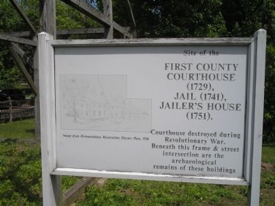
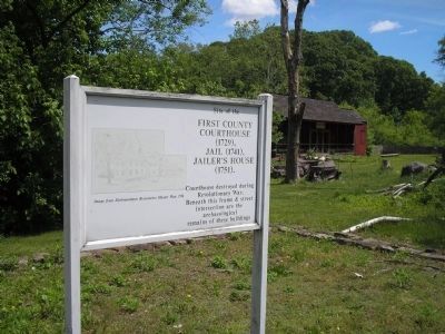
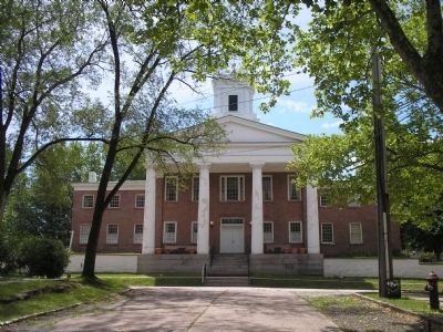
Site of the First County Courthouse (1729), Jail (1741), Jailer’s House (1751).
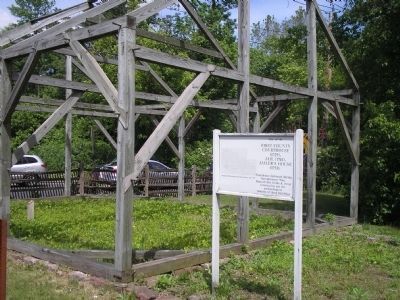
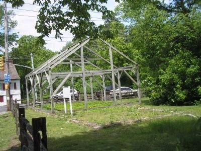
Courthouse destroyed during the Revolutionary War. Beneath this frame & street intersection are the archaeological remains of these buildings.
Topics. This historical marker is listed in these topic lists: Anthropology & Archaeology • Colonial Era • Government & Politics • War, US Revolutionary. A significant historical year for this entry is 1729.
Location. 40° 34.325′ N, 74° 8.804′ W. Marker is on Staten Island, New York, in Richmond County. It is in Richmond. Marker is at the intersection of Richmond Road and Arthur Kill Road, on the right when traveling west on Richmond Road. Marker is located in Historic Richmondtown. Touch for map. Marker is at or near this postal address: 3752 Richmond Rd, Staten Island NY 10306, United States of America. Touch for directions.
Other nearby markers. At least 8 other markers are within walking distance of this marker. The Treasure House (within shouting distance of this marker); Christopher House (within shouting distance of this marker); St. Andrew’s Church (within shouting distance of this marker); Site of Aquilino's Pizzeria and Restaurant (about 300 feet away, measured in a direct line); The Three Sisters Garden (about 300 feet away); Patriots under Gen. Mercer (about 300 feet away); Relatives of Elizabeth Bayley Seton (about 300 feet away); Church of St. Andrew (about 300 feet away). Touch for a list and map of all markers in Staten Island.
More about this marker. The left of the marker features an “Image from Richmondtown Restoration Master Plan, 1956.”
Also see . . . Historic Richmond Town. Website homepage (Submitted on May 18, 2010, by Bill Coughlin of Woodland Park, New Jersey.)
Credits. This page was last revised on April 3, 2023. It was originally submitted on May 18, 2010, by Bill Coughlin of Woodland Park, New Jersey. This page has been viewed 816 times since then and 11 times this year. Photos: 1, 2, 3, 4, 5. submitted on May 18, 2010, by Bill Coughlin of Woodland Park, New Jersey.
