Geneva in Sabine County, Texas — The American South (West South Central)
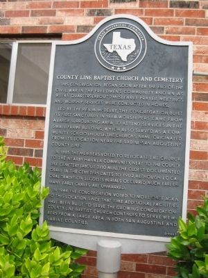
County Line Baptist Church and Cemetery
Led by the Rev. M. McBerry, the congregation built its first sanctuary in 1868. Worshipers came from a large surrounding area to attend services in the small frame building, which also served as a community schoolhouse. The church's name originated from its location near the Sabine-San Augustine County line.
In 1885 the members voted to relocate the church to the nearby Hankla community, next to the County Line Cemetery (about 2/10 mi. N). The oldest documented grave in the cemetery dates to 1902, although local oral tradition suggests burials occurred much earlier. Many early graves are unmarked.
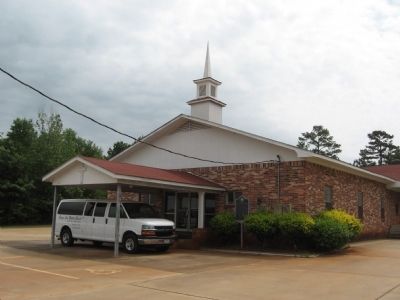
In 1944 the congregation voted to move once again to this location. Since that time additional facilities have been built to serve the growing congregation. County Line Baptist Church continues to serve members from a large area in both San Augustine and Sabine counties.
Erected 1990 by Texas Historical Commission. (Marker Number 11030.)
Topics. This historical marker is listed in this topic list: Churches & Religion. A significant historical year for this entry is 1868.
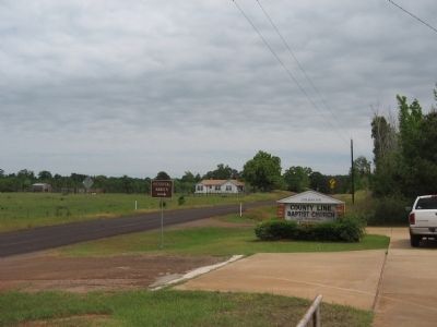
Location. 31° 28.872′ N, 93° 57.024′ W. Marker is in Geneva, Texas, in Sabine County. Marker is on Farm to Market Road 3448, 0.2 miles north of State Highway 21, on the right when traveling north. Touch for map. Marker is in this post office area: Milam TX 75959, United States of America. Touch for directions.
Other nearby markers. At least 8 other markers are within 4 miles of this marker, measured as the crow flies. A Snapshot In Time?/¿Una instantánea en el tiempo? (approx. ¼ mile away); El Camino Real de los Tejas 1680-1845 (approx. ¼ mile away); Two Miles Southeast to McMahan's Chapel (approx. 1.4 miles away); Kings Highway Camino Real — Old San Antonio Road (approx. 2 miles away); El Lobanillo (approx. 2 miles away); McMahan's Chapel (approx. 2 miles away); a different marker also named McMahan's Chapel (approx. 2 miles away); Chapel Hill Cemetery (approx. 4.1 miles away). Touch for a list and map of all markers in Geneva.
Credits. This page was last revised on June 16, 2016. It was originally submitted on May 19, 2010, by Steve Gustafson of Lufkin, Texas. This page has been viewed 1,080 times since then and 32 times this year. Photos: 1, 2, 3. submitted on May 19, 2010, by Steve Gustafson of Lufkin, Texas. • Bill Pfingsten was the editor who published this page.


