Near Highfield-Cascade in Washington County, Maryland — The American Northeast (Mid-Atlantic)
War Returns to South Mountain
Battle of Monterey Pass
— Gettysburg Campaign —
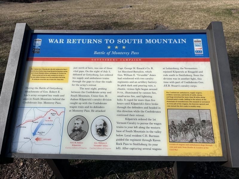
After a stunning victory at Chancellorsville in May 1863, Confederate Gen. Robert E. Lee led the Army of Northern Virginia through Maryland into Pennsylvania, marching next to threaten Philadelphia, Baltimore, and Washington, D.C. The Army of the Potomac marched north from the capital, searching for Lee. On July 1-3, the armies collided at Gettysburg in one of the pivotal battles of the Civil War. The Confederates retraced their steps to Virginia after a bloody defeat.
During the Battle of Gettysburg, detachments of Gen. Robert E. Lee's army occupied key roads and gaps in South Mountain behind the Confederate line. Monterey Pass, just north of here was one of those vital gaps. On the night of July 3, defeated at Gettysburg, Lee ordered his supply and ambulance trains through the gaps to clear the roads for the army's retreat.
The next night, probing between the Confederate army and South Mountain, Union Gen. H. Judson Kilpatrick's cavalry division caught up with the Confederate wagon train and its defenders at Monterey Pass. He attacked Capt. George H. Emack's Co. B, 1st Maryland Battalion, which Gen. William E. "Grumble" Jones had reinforced with two cavalry regiments and an artillery battery. In pitch dark and pouring rain, a chaotic, vicious fight began around 9 P.M., illuminated by cannon fire, small-arms fire, and lightning bolts. It raged for more than five hours until Kilpatrick's force broke through the defenders and headed in this direction while the Confederates continued their retreat.
Kilpatrick ordered the 1st Vermont Cavalry to pursue the wagon trains to your left along the western base of South Mountain in the valley below. Local resident C.H. Burman guided the regiment through Raven Rock Pass to Smithsburg (to your left). After capturing several wagons at Leitersburg, the Vermonters rejoined Kilpatrick at Ringgold and rode south to Smithsburg. Soon the division was in another fight, this time with part of Confederate Gen. J.E.B. Stuart's cavalry corps.
(Sidebar):
The Confederate ambulances, supply wagons, artillery caravans, and herds of cattle, sheep, and hogs stretched for more than 50 miles along Pennsylvania's roads. Adding to the misery of the thousands of wounded men who moaned or screamed at every jolt of the wagons, the heavens opened and rain turned the dirt roads to muddy soup.
Erected by Maryland Civil War Trails.
Topics and series. This historical marker is listed in this topic list: War, US Civil. In addition, it is included in the Maryland Civil War Trails series list. A significant historical month for this entry is May 1863.
Location. 39° 43.023′
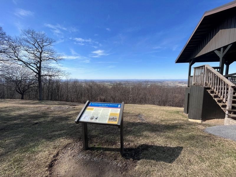
N, 77° 30.549′ W. Marker is near Highfield-Cascade, Maryland, in Washington County. Marker can be reached from Pen Mar High Rock Road, on the right when traveling south. Located in PenMar Park along the crest of South Mountain and at the Pennsylvania-Maryland border. Touch for map. Marker is at or near this postal address: 14610 Pen Mar High Rock Rd, Cascade MD 21719, United States of America. Touch for directions.
Other nearby markers. At least 8 other markers are within 2 miles of this marker, measured as the crow flies. Old Trolley Line (approx. 0.2 miles away in Pennsylvania); The Ice Lakes (approx. 0.9 miles away); Dr. Henry Harbaugh (approx. 1.1 miles away in Pennsylvania); WW II Veterans Memorial (approx. 1.1 miles away); D-Day Anniversary (approx. 1.1 miles away); Military Intelligence Training Center (approx. 1.1 miles away); Robert F. Barrick Memorial Library (approx. 1.1 miles away); a different marker also named Dr. Henry Harbaugh (approx. 1.4 miles away in Pennsylvania).
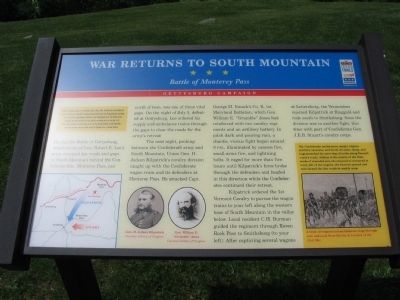
More about this marker. On the lower left is a map of the area depicting the unit movements described on the map. In the lower center are portraits of Generals H. Judson Kilpatrick and William E. "Grumble" Jones. In the sidebar to the right a sketch shows A train of wagons and ambulances slogs through rain and mud, from Battles & Leaders of the Civil War.
Also see . . .
Photographed By Craig Swain, May 15, 2010
4. Rouzerville and Monterey Pass
Looking north from the overlook shelter in the park. Monterey Pass opens through South Mountain north of the park. At the base of the mountain is Rouzerville. Along the slope down through the gap, Federal cavalry captured or destroyed many wagons as they pursued the retreating Confederates.
Photographed By Craig Swain, May 15, 2010
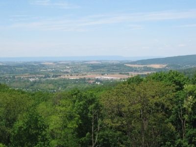
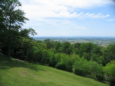
5. Smithsburg
Looking south from the overlook. The retreat-pursuit continued to play out in the valley west of South Mountain after fighting in Monterey Pass. As mentioned on the marker, the cavalry forces skirmished and fought through Leitersburg and Smithsburg.
Credits. This page was last revised on February 26, 2023. It was originally submitted on May 23, 2010, by Craig Swain of Leesburg, Virginia. This page has been viewed 1,571 times since then and 39 times this year. Photos: 1. submitted on February 26, 2023, by Devry Becker Jones of Washington, District of Columbia. 2. submitted on May 23, 2010, by Craig Swain of Leesburg, Virginia. 3. submitted on February 26, 2023, by Devry Becker Jones of Washington, District of Columbia. 4, 5. submitted on May 23, 2010, by Craig Swain of Leesburg, Virginia.
