Near Queenstown in Queen Anne's County, Maryland — The American Northeast (Mid-Atlantic)
Battle of Slippery Hill
August 13, 1813
Inscription.
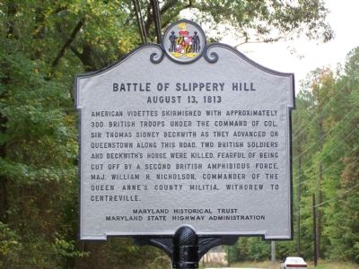
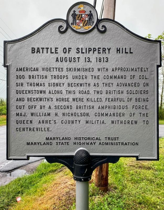
American Videttes skirmished with approximately 300 British troops under the command of Col. Sir Thomas Sidney Beckwith as they advanced on Queenstown along this road. Two British soldiers and Beckwith’s horse were killed. Fearful of being cut off by a second British amphibious force, Maj. William H. Nicholson, commander of the Queen Anne’s County militia, withdrew to Centreville.
Erected by Maryland Historical Trust & Maryland State Highway Administration.
Topics. This historical marker is listed in this topic list: War of 1812.
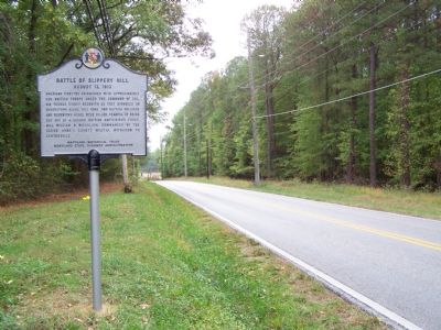
Location. 38° 58.157′ N, 76° 10.625′ W. Marker is near Queenstown, Maryland, in Queen Anne's County. Marker is at the intersection of Maryland Route 18 and Bennett’s Point Road, on the right when traveling north on State Route 18. Marker is at southern corner of the intersection. Touch for map. Marker is in this post office area: Queenstown MD 21658, United States of America. Touch for directions.
Other nearby markers. At least 8 other markers are within 2 miles of this marker, measured as the crow flies. British Command (approx. 0.4 miles away); The Battle Enjoined! (approx. 0.4 miles away); Protecting the Homefront (approx. 0.4 miles away); The Men Who Stood and Fought at Slippery Hill (approx. 0.4 miles away); Lure of Freedom (approx. 0.4 miles away); Road to Battle (approx. 0.9 miles away); Governor William Grason (approx. 1.1 miles away); “Lord’s Gift” (approx. 1.4 miles away). Touch for a list and map of all markers in Queenstown.
Credits. This page was last revised on January 24, 2023. It was originally submitted on October 23, 2007, by Bill Pfingsten of Bel Air, Maryland. This page has been viewed 5,449 times since then and 133 times this year. Last updated on January 27, 2019, by Carl Gordon Moore Jr. of North East, Maryland. Photos: 1. submitted on October 23, 2007, by Bill Pfingsten of Bel Air, Maryland. 2. submitted on December 27, 2022, by Shane Oliver of Richmond, Virginia. 3. submitted on October 23, 2007, by Bill Pfingsten of Bel Air, Maryland.


