Asheboro in Randolph County, North Carolina — The American South (South Atlantic)
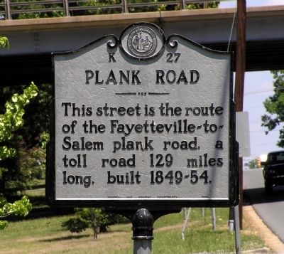
Plank Road
This street is the route of the Fayetteville-to-Salem plank road, a toll road 129 miles long, built 1849-54.
Erected 1948 by North Carolina Archives and Highway Departments. (Marker Number K-27.)
Topics and series. This historical marker is listed in these topic lists: Industry & Commerce • Roads & Vehicles. In addition, it is included in the North Carolina Division of Archives and History series list.
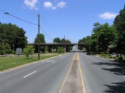
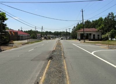
Location. 35° 41.218′ N, 79° 48.989′ W. Marker is in Asheboro, North Carolina, in Randolph County. Marker is at the intersection of South Fayetteville Street (Alternate U.S. 220) and Altantic Ave/County Club Drive, on the right when traveling south on South Fayetteville Street. Touch for map. Marker is in this post office area: Asheboro NC 27205, United States of America. Touch for directions.
Other nearby markers. At least 8 other markers are within 8 miles of this marker, measured as the crow flies. Sit-Ins for Civil Rights (approx. 1.3 miles away); Randolph County Confederate Monument (approx. 1.3 miles away); Randolph County Courthouse (approx. 1.3 miles away); Jonathan Worth (approx. 1.4 miles away); Henderson Luelling (approx. 4.1 miles away); Cedar Falls Mill (approx. 5 miles away); Faith Rock (approx. 7.6 miles away); Trading Path (approx. 7.7 miles away). Touch for a list and map of all markers in Asheboro.
Related marker. Click here for another marker that is related to this marker. To better understand the relationship, study the marker shown.
Also see . . . Fayetteville and Western Plank Road. North Carolina History Project website entry (Submitted on June 5, 2010, by PaulwC3 of Northern, Virginia.)
Credits. This page was last revised on March 24, 2024. It was originally submitted on June 5, 2010, by PaulwC3 of Northern, Virginia. This page has been viewed 1,109 times since then and 30 times this year. Photos: 1, 2, 3. submitted on June 5, 2010, by PaulwC3 of Northern, Virginia.


