Near Mohave Valley in Mohave County, Arizona — The American Mountains (Southwest)
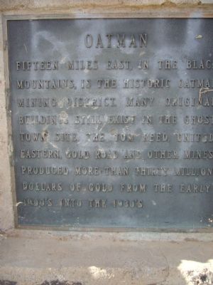
Oatman
Topics. This historical marker is listed in these topic lists: Natural Resources • Notable Places.
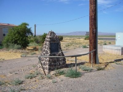
Location. 34° 58.069′ N, 114° 35.847′ W. Marker is near Mohave Valley, Arizona, in Mohave County. Marker is at the intersection of County Route 153 and Arizona Route 95, on the right when traveling east on County Route 153. Touch for map. Marker is in this post office area: Mohave Valley AZ 86440, United States of America. Touch for directions.
Other nearby markers. At least 8 other markers are within 9 miles of this marker, measured as the crow flies. History of the Fort Mojave Tribe (approx. 4.2 miles away in Nevada); Von Schmidt State Boundary Monument (approx. 4.9 miles away in California); a different marker also named Von Schmidt State Boundary Monument (approx. 4.9 miles away in California); National Old Trails (approx. 8.1 miles away in California); Old Cantilever Train Signal (approx. 8.8 miles away in California); Needles El Garces Train Station, Needles, California (approx. 8.8 miles away in California); Citizens of Needles (approx. 8.8 miles away in California); Arizona Veterans Memorial (approx. 8.9 miles away).
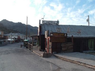
Photographed By Bill Kirchner, March 18, 2010
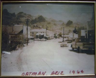
3. Oatman
Named for a migrating pioneer family attacked and killed by Indians near Gila Bend, Arizona, in 1851.
Click for more information.
Click for more information.
Credits. This page was last revised on June 16, 2016. It was originally submitted on June 15, 2010, by Bill Kirchner of Tucson, Arizona. This page has been viewed 1,254 times since then and 31 times this year. Photos: 1, 2, 3, 4, 5. submitted on June 15, 2010, by Bill Kirchner of Tucson, Arizona. • Syd Whittle was the editor who published this page.
