Bullhead City in Mohave County, Arizona — The American Mountains (Southwest)
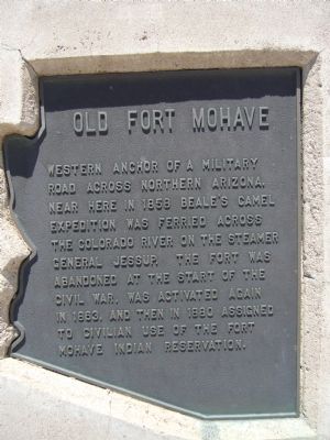
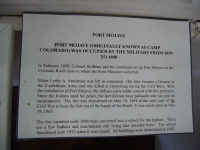
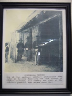
Old Fort Mohave
Topics. This historical marker is listed in these topic lists: Forts and Castles • Native Americans • Notable Places. A significant historical year for this entry is 1858.
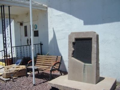
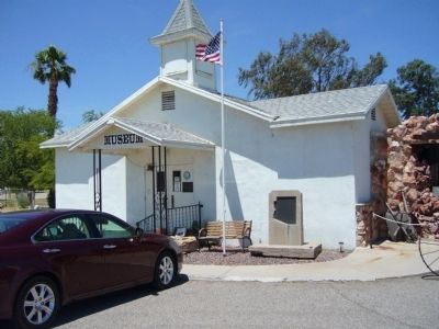
Location. 35° 10.647′ N, 114° 33.941′ W. Marker is in Bullhead City, Arizona, in Mohave County. Marker can be reached from State Highway 68. Marker is next to the entrance of the Colorado River Museum. Touch for map. Marker is at or near this postal address: 2201 Highway 68, Bullhead City AZ 86429, United States of America. Touch for directions.
Other nearby markers. At least 8 other markers are within 7 miles of this marker, measured as the crow flies. Avenue of Flags (approx. half a mile away in Nevada); Donald (Don) J. Laughlin (approx. 0.6 miles away in Nevada); Laughlin, an Oasis on the Colorado (approx. 0.8 miles away in Nevada); Camels and Commerce (approx. 1.1 miles away in Nevada); Commercial Steamship Transportation and Bullhead Community Park (approx. 2.6 miles away); Hardyville Pioneer Cemetery (approx. 4.1 miles away); The Garcés Expedition (approx. 6.9 miles away in Nevada); Arizona Veterans Memorial (approx. 6.9 miles away). Touch for a list and map of all markers in Bullhead City.
More about this marker. This marker was located about 4 miles south along Arizona Highway 95. When widening of AZ-95 displaced the marker it was saved from destruction by the Colorado River Museum.
Related markers. Click here for a list of markers that are related to this marker. A series of markers documenting the Army's Great Western Camel Experiment.
Credits. This page was last revised on June 16, 2016. It was originally submitted on June 15, 2010, by Bill Kirchner of Tucson, Arizona. This page has been viewed 3,255 times since then and 160 times this year. Last updated on June 23, 2010, by Chris English of Phoenix, Arizona. Photos: 1, 2, 3, 4, 5. submitted on June 15, 2010, by Bill Kirchner of Tucson, Arizona. • Syd Whittle was the editor who published this page.
