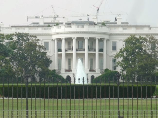
The Ellipse in Northwest Washington in Washington, District of Columbia — The American Northeast (Mid-Atlantic)
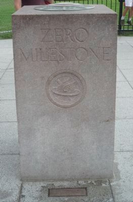
Zero Milestone
— President's Park —
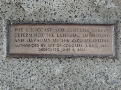
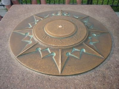
The U.S. Coast and Geodetic Survey determined the latitude, longitude and elevation of the Zero Milestone. Authorized by Act of Congress, June 5, 1920. Dedicated June 4, 1923.
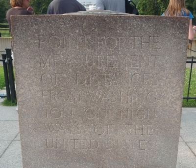
Point for the measurement of distances from Washington on highways of of the United States.
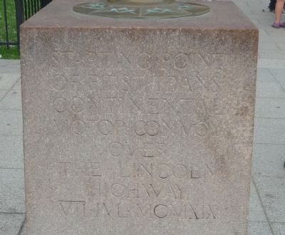
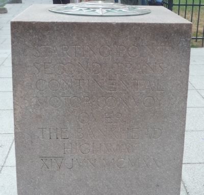
Starting point of first trans-continental motor convoy over the Lincoln Highway. VII JVL MCMXIX.
Starting point, second trans-continental motor convoy over the Bankhead Highway. XIV Jun MCMXX.
Erected 1923 by the U. S. Congress.
Topics and series. This historical marker is listed in these topic lists: Communications • Exploration • Roads & Vehicles • Waterways & Vessels. In addition, it is included in the Lincoln Highway series list. A significant historical date for this entry is June 5, 1777.
Location. 38° 53.706′ N, 77° 2.193′ W. Marker is in Northwest Washington in Washington, District of Columbia. It is in The Ellipse. Marker is on E Street Northwest west of 15th Street Northwest. Marker is just south of the White House in President's Park. It is on the south sidewalk off E Street at its convergence with the north edge of the Ellipse Circle Road, midway between 15th and 17th Streets, NW. It is presently accessible to pedestrian traffic, only. Touch for map. Marker is at or near this postal address: 1600 E Street Northwest, Washington DC 20500, United States of America. Touch for directions.
Other nearby markers. At least 8 other markers are within walking distance of this marker. White House Kitchen Garden (within shouting distance of this marker); The National Christmas Tree (within shouting distance of this marker); John Saul (about 300 feet away, measured in a direct line); White House Ablaze (about 700 feet away); William Tecumseh Sherman (about 700 feet away); First Division War Memorial (about 700 feet away); Boy Scout Memorial (about 800 feet away); Alexander Hamilton Memorial (approx. 0.2 miles away). Touch for a list and map of all markers in Northwest Washington.
Related marker. Click here for another marker that is related to this marker. To better understand the relationship, study each marker in the order shown.
Also see . . .
1. Zero Milestone. (Submitted on June 30, 2010, by Richard E. Miller of Oxon Hill, Maryland.)
2. USDOT Highway History. (Submitted on June 30, 2010, by Richard E. Miller of Oxon Hill, Maryland.)
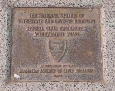
Additional keywords. White House; National Park Service; American Society of Civil Engineers; Interstate and Defense Highways; automobiles; Washington Meridian; cartography, navigation, surveying.
Credits. This page was last revised on February 16, 2023. It was originally submitted on June 30, 2010, by Richard E. Miller of Oxon Hill, Maryland. This page has been viewed 2,110 times since then and 41 times this year. Photos: 1, 2, 3, 4, 5, 6, 7. submitted on June 30, 2010, by Richard E. Miller of Oxon Hill, Maryland. 8. submitted on February 2, 2022, by Adam Margolis of Mission Viejo, California. 9. submitted on June 30, 2010, by Richard E. Miller of Oxon Hill, Maryland. • Bill Pfingsten was the editor who published this page.
