Tenney-Lapham in Madison in Dane County, Wisconsin — The American Midwest (Great Lakes)
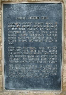
Breese Stevens Field
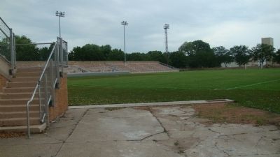
Until the mid-1960s, this was the only city park with lights. Almost all major outdoor events took place here, including major and minor league baseball, all Madison high school football games and midget car racing.
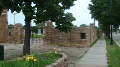
The city purchased the land in 1923 and built the brick grandstand in 1925. The exterior surrounding stone wall was built in 1934 with quarry rock from Hoyt Park.
Topics. This historical marker is listed in these topic lists: Notable Buildings • Sports. A significant historical year for this entry is 1856.
Location. This marker has been replaced by another marker nearby. 43° 4.96′ N, 89° 22.403′ W. Marker is in Madison, Wisconsin, in Dane County. It is in Tenney-Lapham. Marker is at the intersection of North Paterson Street and East Washington Avenue, on the left when traveling south on North Paterson Street. The marker has been replaced by a Madison Landmarks Commission marker with the same subject but a different focus. Touch for map. Marker is at or near this postal address: 917 East Mifflin Street, Madison WI 53703, United States of America. Touch for directions.
Other nearby markers. At least 8 other markers are within walking distance of this location. A different marker also named Breese Stevens Field (here, next to this marker); City Market (approx. ¼ mile away); Biederstaedt – Breitenbach Grocery (approx. 0.3 miles away); Badger State Shoe Factory (approx. 0.3 miles away); Thomas / Hill Grocery and Residence (approx. 0.3 miles away); Here was Madison’s first African-American neighborhood (approx. 0.3 miles away); Madison Gas & Electric Company Powerhouse (approx. 0.3 miles away); Leitch House (approx. 0.3 miles away). Touch for a list and map of all markers in Madison.
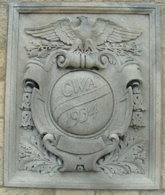
Regarding Breese Stevens Field. According to the Madison Landmarks Commission, "This athletic facility was built on a block sold to the City of Madison in 1923 by the widow of former Madison Mayor Breese J. Stevens. The City hired local architects Claude and Starck to design a stadium for the new field in 1925. The stone walls were constructed in 1934 by the federal Civil Works Administration, the same year lighting towers were erected. During its early years the field was used for most outdoor high school athletic events and for minor league baseball. In 1982 a rehabilitation project converted it to a soccer facility."
Related markers. Click here for a list of markers that are related to this marker. This is a list of markers for buildings
designed by Claude & Starck, and for the Stevens house.
Credits. This page was last revised on February 16, 2023. It was originally submitted on July 4, 2010, by William J. Toman of Green Lake, Wisconsin. This page has been viewed 949 times since then and 25 times this year. Photos: 1, 2, 3, 4. submitted on July 5, 2010, by William J. Toman of Green Lake, Wisconsin. • Bill Pfingsten was the editor who published this page.


