Near Bartow in Pocahontas County, West Virginia — The American South (Appalachia)
Camp Allegheny 1861-1862
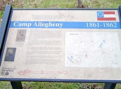
Camp Allegheny, also known as Camp Baldwin and Camp Johnson, was constructed in the summer of 1861 by Confederate forces in order to control the Staunton-Parkersburg Turnpike. (present day Pocahontas County Route 3). Following the October 3, 1861 battle at Camp Bartow, General Henry R. Jackson, C.S.A. moved his forces approximately nine miles southeast to this position. Here the Confederate army established winter quarters. The post was commanded by Colonel Edward Johnson of the 12th Georgia Infantry Regiment.
Attack at Camp Allegheny
With the exception of minor skirmishes with Federal pickets the soldiers settled into the routine of preparing for a harsh mountain winter. This routine was disturbed on December 13, 1861 as 1,900 Federal soldiers under General Robert H. Milroy attacked the position. Poor timing by the Union troops helped the 1,200 Confederate defenders to turn back each assault separately. Throughout the action the Confederates were able to outnumber the attacking troops. The engagement was a confused affair. Advantage ebbed and flowed during the roughly seven hours of fighting. Finally the Federal forces withdrew to Cheat Summit Fort. The Federals suffered approximately 137 casualties and the Confederates roughly 146.
The Winter of 1861-62
After the battle, life returned to the ofttimes dull routine of service in a remote outpost. The winter was a severe one. Measles, pneumonia, and other diseases caused many deaths among the troops posted here. The Confederates abandoned Camp Allegheny in April of 1862. Supply difficulties as well as camp conditions contributed to the decision to leave. The site was reoccupied for short durations later in the war as part of raiding campaigns which were conducted in this area.
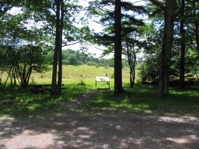
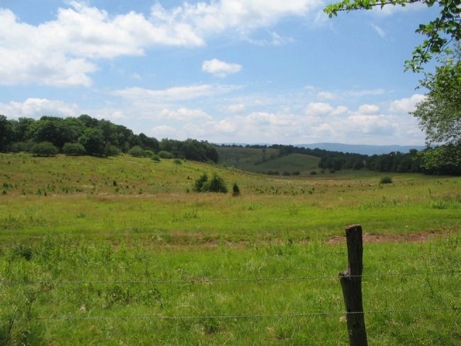
The locale appears much today as it did in 1861. Remains of earth and rock fortifications are visible. Cabin foundations and collapsed chimneys mark the living quarters. The fortification has the highest altitude, 4,400 feet above mean sea level, of any in the eastern Civil War theater.
In 1990 the special status of this fort in American history was recognized as Camp Allegheny was listed on the National Register of Historic Places. Much of the fort is administered by the Monongahela National Forest for the benefit of the public. Please assist us in preserving this important place.
Artifacts, structures and archaeological resources at Camp Allegheny are protected by federal laws such as the Archaeological Resources Protection Act of 1979, as amended.
Please stay within the publicly owned portion of the site. Entry into private lands will require landowner consent. As you visit and enjoy Camp Allegheny please be certain to leave it as you found it. If you observe artifacts please leave them in place and report them to U.S. Forest Service personnel. Should you observe anyone digging, using a metal detector, or collecting at this location please inform the Forest Supervisor at (304) 636-1800 or the District Ranger at (304) 456-3335.
Erected by Monongahela National Forest.
Topics. This historical marker is listed in these topic lists: Forts and Castles • War, US Civil. A significant historical month for this entry is April 1862.
Location. This marker has been replaced by another marker nearby. 38° 28.418′ N, 79° 43.346′ W. Marker is near Bartow, West Virginia, in Pocahontas County. Marker is on Old Pike Road (County Road 3), on the right when traveling east. Located at a recreational access point in Monongahela National Forest. Touch for map. Marker is in this post office area: Bartow WV 24920, United States of America. Touch for directions.
Other nearby markers. At least 8 other markers are within 2 miles of this location, measured as the crow flies. Camp Allegheny (here, next to this marker); War In West Virginia (approx. 1.3 miles away); The Great Raid (approx. 1.3 miles away); Highland County / West Virginia (approx. 1.3 miles away in Virginia); The First Campaign (approx. 1.3 miles away); a different marker also named Camp Allegheny (approx. 1.3 miles away); West Virginia / Virginia (approx. 1.3 miles away); a different marker also named Camp Allegheny (approx. 1.6 miles away in Virginia). Touch for a list and map of all markers in Bartow.
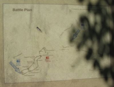
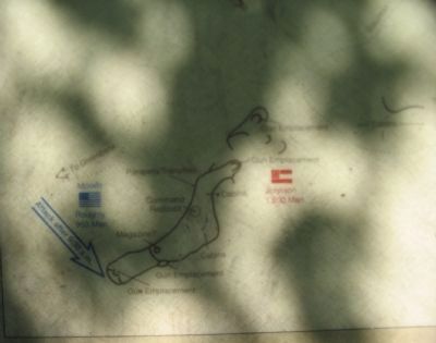
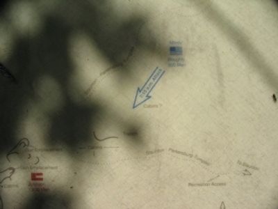
More about this marker. On the upper left is a portrait of Johnson. Colonel Edward Johnson commanded Confederate forces during the engagement at Camp Allegheny. In recognition of this service during that action he was promoted to general. Below is a portrait of his opponent. General Robert H. Milroy led an unsuccessful attack on Camp Allegheny. On the right is a map of the site, showing the road structure, key components of the Confederate position, and the approximate lines used by the Federal attacks.
Regarding Camp Allegheny 1861-1862. This marker was replaced by a new one named Camp Allegheny (see nearby markers).
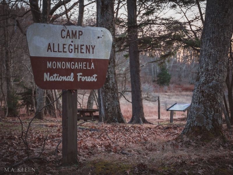
via Historic America, unknown
5. Camp Allegheny Battlefield in Pocahontas County, West Virginia
Historic America website entry
Click for more information.
Click for more information.
Credits. This page was last revised on March 30, 2022. It was originally submitted on July 11, 2010, by Linda Walcroft of Woodstock, Virginia. This page has been viewed 1,445 times since then and 43 times this year. Photos: 1. submitted on July 11, 2010, by Linda Walcroft of Woodstock, Virginia. 2, 3, 4. submitted on July 11, 2010, by Craig Swain of Leesburg, Virginia. 5. submitted on March 30, 2022, by Larry Gertner of New York, New York. 6, 7, 8. submitted on July 11, 2010, by Craig Swain of Leesburg, Virginia. • Craig Swain was the editor who published this page.
