Basking Ridge in Somerset County, New Jersey — The American Northeast (Mid-Atlantic)
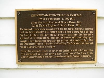
Kennedy-Martin-Stelle Farmstead
Listed New Jersey Register of Historic Places - 2003
Listed National Register of Historic Places - 2004
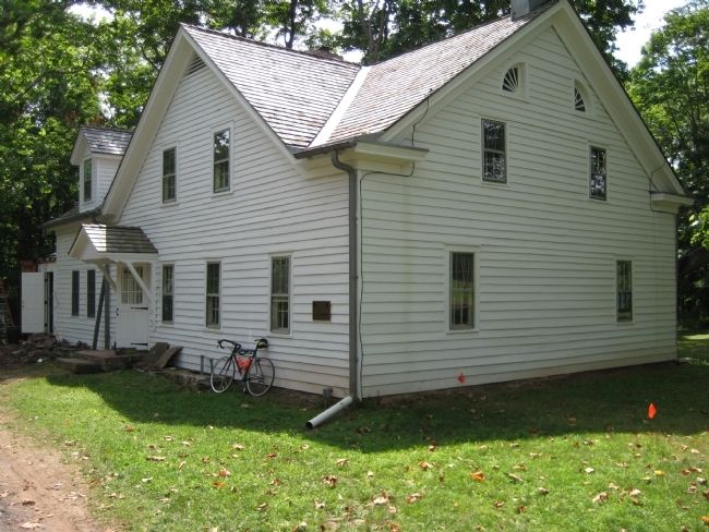
The farmstead is historically associated with the Rev. Samuel Kennedy, a renowned local minister and educator; Col. Ephraim Martin, a Revolutionary War soldier and New Jersey legislator; and Oliver Stelle, a prominent land owner. The farmstead is significant for its association with these early residents as well as containing a good example of early English-type barn and other architectural examples typifying 18th and 19th century domestic and agricultural building. The farmstead is an important vestige of Bernard Township's rural past.
Funding has been made possible in part by the Garden State Historic Preservation Trust administered by the New Jersey Historic Trust / State of New Jersey, by the Somerset County Cultural & Heritage Commission and by the Township of Bernards.
Topics. This historical marker is listed in these topic lists: Colonial Era • Notable Buildings. A significant historical year for this entry is 2003.
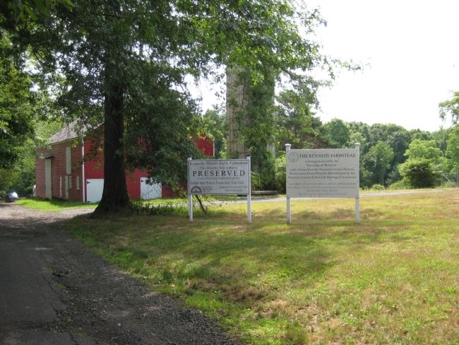
Location. 40° 39.5′ N, 74° 31.684′ W. Marker is in Basking Ridge, New Jersey, in Somerset County. Marker can be reached from King George Road, on the right when traveling north. Marker is on the farmstead house which is down a long drive from the road. The associated marker, #20159, is visible from the road at the entrance. Touch for map. Marker is in this post office area: Basking Ridge NJ 07920, United States of America. Touch for directions.
Other nearby markers. At least 8 other markers are within 2 miles of this marker, measured as the crow flies. A different marker also named Kennedy-Martin-Stelle Farmstead (about 600 feet away, measured in a direct line); a different marker also named Kennedy-Martin-Stelle Farmstead (about 800 feet away); Morris County (approx. half a mile away); Millington Railroad Station (approx. 1.1 miles away); Frederick W. Schmidt (approx. 1.2 miles away); Millington Schoolhouse #74 (approx. 1.3 miles away); Vail Family (approx. 1.4 miles away); Mt. Bethel Meeting House (approx. 1.6 miles away). Touch for a list and map of all markers in Basking Ridge.
Related marker. Click here for another marker that is related to this marker. To better understand the relationship, study each marker in the order shown.
Credits. This page was last revised on June 16, 2016. It was originally submitted on July 13, 2010, by Alan Edelson of Union Twsp., New Jersey. This page has been viewed 845 times since then and 20 times this year. Photos: 1, 2, 3. submitted on July 13, 2010, by Alan Edelson of Union Twsp., New Jersey. • Bill Pfingsten was the editor who published this page.


