Brooklyn Heights in Kings County, New York — The American Northeast (Mid-Atlantic)
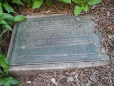
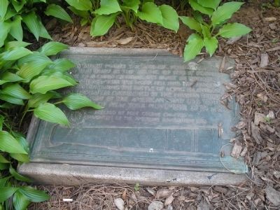
Fort Stirling
Erected 1924 by Fort Greene Chapter Daughters of the Revolution.
Topics. This historical marker is listed in this topic list: War, US Revolutionary. A significant historical month for this entry is November 1850.
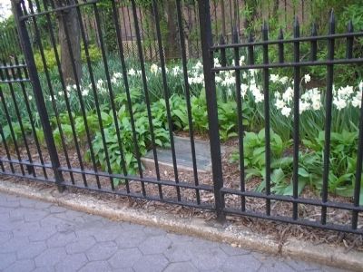
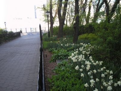
Location. 40° 41.907′ N, 73° 59.789′ W. Marker is in Brooklyn, New York, in Kings County. It is in Brooklyn Heights. Marker is at the intersection of Clark Street and Columbia Heights, on the right when traveling west on Clark Street. Marker is found at the Clark Street entrance to the Brooklyn Heights promenade. Touch for map. Marker is at or near this postal address: 154 Columbia Heights, Brooklyn NY 11201, United States of America. Touch for directions.
Other nearby markers. At least 8 other markers are within walking distance of this marker. 155 - 157 - 159 Willow Street (about 700 feet away, measured in a direct line); Plymouth Church of the Pilgrims (approx. 0.2 miles away); Edward Robinson Squibb (approx. 0.2 miles away); Brooklyn Heights Historic District (approx. 0.2 miles away); Brooklyn Heights / Downtown Brooklyn (approx. 0.2 miles away); History in the Park (approx. 0.2 miles away); Four Chimneys (approx. 0.2 miles away); Arthur Miller (approx. 0.2 miles away). Touch for a list and map of all markers in Brooklyn.
More about this marker. An image of a cannon barrel appears at the bottom of the marker.
Also see . . .
1. The Battle of Long Island, August 27, 1776 at Long Island, New York. The American Revolutionary War website. (Submitted on April 24, 2010, by Bill Coughlin of Woodland Park, New Jersey.)
2. Battle of Long Island, August 27, 1776. (Submitted on April 24, 2010, by Bill Coughlin of Woodland Park, New Jersey.)
3. The Battle of Long Island 1776. A British perspective of the battle from BritishBattles.com. (Submitted on April 24, 2010, by Bill Coughlin of Woodland Park, New Jersey.)
Credits. This page was last revised on January 31, 2023. It was originally submitted on April 24, 2010, by Bill Coughlin of Woodland Park, New Jersey. This page has been viewed 1,707 times since then and 71 times this year. Last updated on July 16, 2010, by Todd Florio of Brooklyn, New York. Photos: 1. submitted on April 26, 2010, by Bill Coughlin of Woodland Park, New Jersey. 2, 3, 4. submitted on April 24, 2010, by Bill Coughlin of Woodland Park, New Jersey. • Bill Pfingsten was the editor who published this page.


