Griggstown in Somerset County, New Jersey — The American Northeast (Mid-Atlantic)
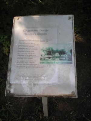
Griggstown Bridge Tenderís Station
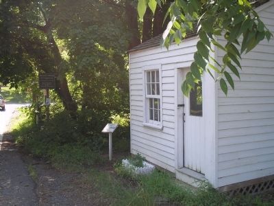
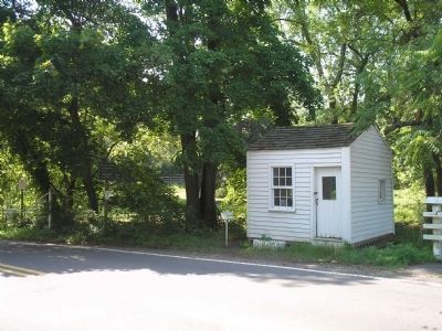
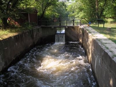
This station was used by the Griggstown bridge tender who monitored boat traffic and operated the bridge at this location.
The bridge tenderís station was fitted with a Morse telegraph machine, one of the earliest uses of the technology, in order to alert other locations of emergencies and other needed information.
This historical interpretation was provided by Boy Scout Troop 850 of Montgomery township, with assistance from the Griggstown Historical Society and the D&R Canal Commission.
Landscaping materials donated by the Belle Mead Co-op.
Topics. This historical marker is listed in these topic lists: Industry & Commerce • Notable Buildings • Waterways & Vessels. A significant historical year for this entry is 1830.
Location. 40° 26.278′ N, 74° 36.835′ W. Marker is in Griggstown, New Jersey, in Somerset County. Marker is at the intersection of Griggstown Causeway and Canal Road, on the left when traveling west on Griggstown Causeway. Touch for map. Marker is in this post office area: Belle Mead NJ 08502, United States of America. Touch for directions.
Other nearby markers. At least 8 other markers are within 4 miles of this marker, measured as the crow flies. Historic River Road and River Crossing (approx. ľ mile away); Washingtonís Route from Princeton (approx. 0.6 miles away); Opie-Vanderveer Cemetery (approx. 2.1 miles away); Bridgepoint Historic District (approx. 2.1 miles away); Harlingen Road Bridge (approx. 2.6 miles away); The Titus Farm (approx. 3 miles away); Blackwells Mills Canal House (approx. 3.4 miles away); Kate McFarlane and Josephine Swann (approx. 3.7 miles away). Touch for a list and map of all markers in Griggstown.
More about this marker. The right side of the marker contains a photograph of the Bridge Tenderís Station.
Credits. This page was last revised on June 16, 2016. It was originally submitted on July 18, 2010, by Bill Coughlin of Woodland Park, New Jersey. This page has been viewed 984 times since then and 21 times this year. Photos: 1, 2, 3, 4. submitted on July 18, 2010, by Bill Coughlin of Woodland Park, New Jersey.


