Downtown in Norfolk, Virginia — The American South (Mid-Atlantic)
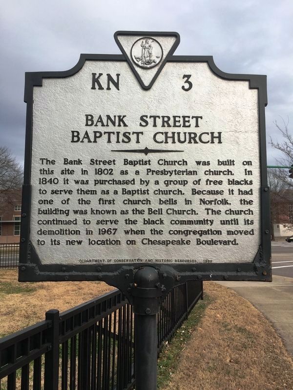
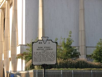
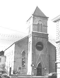
Bank Street Baptist Church
Erected 1988 by Department of Conservation and Historic Resources. (Marker Number KN-3.)
Topics and series. This historical marker is listed in these topic lists: African Americans • Churches & Religion. In addition, it is included in the Virginia Department of Historic Resources (DHR) series list. A significant historical year for this entry is 1802.
Location. 36° 51.086′ N, 76° 17.143′ W. Marker is in Norfolk, Virginia. It is in Downtown. Marker is at the intersection of East Charlotte Street and St Pauls Boulevard, on the right when traveling east on East Charlotte Street. Touch for map. Marker is in this post office area: Norfolk VA 23510, United States of America. Touch for directions.
Other nearby markers. At least 8 other markers are within walking distance of this marker. Freemason Street Baptist Church (about 500 feet away, measured in a direct line); First Baptist Church, Bute Street (about 600 feet away); AKA Iota Omega (about 600 feet away); a different marker also named First Baptist Church (about 600 feet away); St. Joseph’s Catholic Church & School (about 600 feet away); The Cannonball Trail (about 600 feet away); Whitehead House, 1791 (about 600 feet away); Francis Drake, Free Black Barber (about 600 feet away). Touch for a list and map of all markers in Norfolk.
Credits. This page was last revised on February 1, 2023. It was originally submitted on November 5, 2007, by Laura Troy of Burke, Virginia. This page has been viewed 1,662 times since then and 69 times this year. Photos: 1. submitted on February 5, 2019, by Brandon D Cross of Flagler Beach, Florida. 2, 3. submitted on November 5, 2007, by Laura Troy of Burke, Virginia. • J. J. Prats was the editor who published this page.


