Woodville in Jackson County, Alabama — The American South (East South Central)
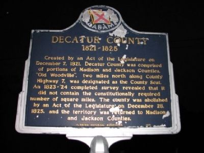
Decatur County
1821~1825
Erected by Alabama Historical Association.
Topics and series. This historical marker is listed in these topic lists: Government & Politics • Notable Places. In addition, it is included in the Alabama Historical Association series list. A significant historical month for this entry is December 1831.
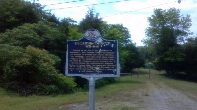
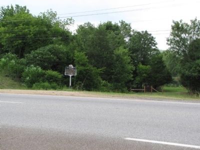
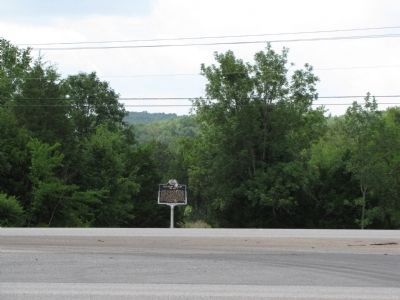
Location. 34° 36.436′ N, 86° 15.991′ W. Marker is in Woodville, Alabama, in Jackson County. Marker is at the intersection of Lee Highway/John T. Reid Parkway (State Highway 2/72) and County Road 7, on the left when traveling west on Lee Highway/John T. Reid Parkway. Touch for map. Marker is at or near this postal address: 8636 John T Reid Parkway, Woodville AL 35776, United States of America. Touch for directions.
Other nearby markers. At least 8 other markers are within 6 miles of this marker, measured as the crow flies. Cathedral Caverns (approx. 3 miles away); Whitaker Cemetery (approx. 4.8 miles away); Kate Duncan Smith - Daughters of the American Revolution School (approx. 5.1 miles away); Pennsylvania Bell Tower (approx. 5.1 miles away); Becker Hall (approx. 5.2 miles away); Bethel Cemetery (approx. 5.2 miles away); The History of Paint Rock, Alabama / Paint Rock Arrests in 1931 Began 'Scottsboro Boys' Cases (approx. 5.4 miles away); Poplar Ridge School (approx. 5.8 miles away).
Credits. This page was last revised on June 16, 2016. It was originally submitted on March 10, 2010, by Sandra Hughes Tidwell of Killen, Alabama, USA. This page has been viewed 1,465 times since then and 50 times this year. Last updated on July 20, 2010, by Lee Hattabaugh of Capshaw, Alabama. Photos: 1. submitted on March 10, 2010, by Sandra Hughes Tidwell of Killen, Alabama, USA. 2. submitted on May 2, 2012, by Creig Moore of Pisgah, Alabama. 3, 4. submitted on July 20, 2010, by Lee Hattabaugh of Capshaw, Alabama. • Kevin W. was the editor who published this page.


