Social Circle in Walton County, Georgia — The American South (South Atlantic)
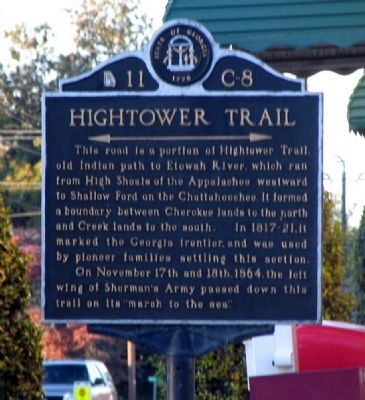
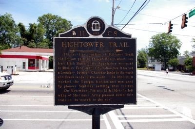
Hightower Trail
<------->
On November 17th and 18th, 1864, the left wing of Sherman’s Army passed down this trail on its “march to the sea.”
Erected by Works Progress Administration (WPA). (Marker Number 11-C-8.)
Topics and series. This historical marker is listed in these topic lists: Native Americans • Roads & Vehicles • Settlements & Settlers • War, US Civil • Waterways & Vessels. In addition, it is included in the Georgia Historical Society, and the Works Progress Administration (WPA) projects series lists. A significant historical month for this entry is November 1822.
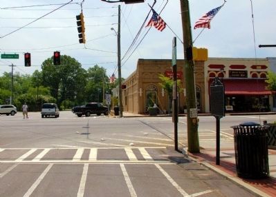
Location. 33° 39.372′ N, 83° 43.128′ W. Marker is in Social Circle, Georgia, in Walton County. Marker is at the intersection of South Cherokee Road (Georgia Route 11) and Hightower Trail, on the right when traveling south on South Cherokee Road. Touch for map. Marker is in this post office area: Social Circle GA 30025, United States of America. Touch for directions.
Other nearby markers. At least 8 other markers are within 7 miles of this marker, measured as the crow flies. Social Circle (within shouting distance of this marker); In Memory of Emma Sansom (about 300 feet away, measured in a direct line); Dr. Brown's Townhouse (approx. 0.2 miles away); The Church Bell (approx. 0.2 miles away); The March to the Sea (approx. 0.2 miles away); Brick Store (approx. 4.1 miles away); Sherman at Harris’ Quarters (approx. 6.2 miles away); Centreville (approx. 6.3 miles away). Touch for a list and map of all markers in Social Circle.
Related markers. Click here for a list of markers that are related to this marker. To better understand the relationship, study each marker in the order shown.
Credits. This page was last revised on February 1, 2020. It was originally submitted on April 3, 2009, by David Seibert of Sandy Springs, Georgia. This page has been viewed 1,970 times since then and 84 times this year. Last updated on July 22, 2010, by David Seibert of Sandy Springs, Georgia. Photos: 1. submitted on April 3, 2009, by David Seibert of Sandy Springs, Georgia. 2, 3. submitted on June 23, 2009, by David Seibert of Sandy Springs, Georgia. • Craig Swain was the editor who published this page.


