Near Elmira in Chemung County, New York — The American Northeast (Mid-Atlantic)
Divided Peoples
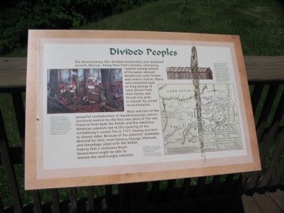
Most warriors of the powerful confederation of Haudenosaunee nations remained neutral for the first two years of the war. Pressure from both the British and the rebellious American colonists led to the covering of the confederacy's council fire in 1777, freeing warriors to choose sides. Because of the colonists' insatiable demand for land, most Seneca, Cayuga, Mohawk, and Onondaga sided with the British, hoping that a victorious Royal Government might be able to restrain the land-hungry colonists.
(Left Sidebar):
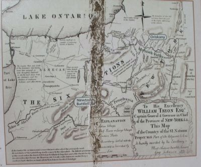
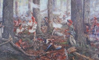
One of the most violent battles of the Revolutionary War occurred at Oriskany on August 6, 1777. It was the first time that Oneida warriors, who openly sided with the rebellious Americans, fought against other Haudenosaunee warriors who allied themselves with the British.
(Right Sidebar):
Although the French called them the Iroquois, and the English referred to them collectively as the Six Nations, these Native Americans have always referred to themselves as Haudenosaunee, which translates as "people of the loghouse," a reference to the traditional Haudenosaunee longhouse pictured in this drawing by John Fadden. The council fire was reestablished at Buffalo Creek following the Revolutionary War.
Topics. This historical marker is listed in these topic lists: Native Americans • War, US Revolutionary. A significant historical year for this entry is 1777.
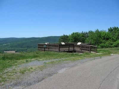
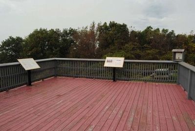
Location. 42° 2.658′ N, 76° 43.965′ W. Marker is near Elmira, New York, in Chemung County. Marker is on Newtown Reservation Road. Located at Newtown Battlefield Reservation State Park. Touch for map. Marker is in this post office area: Elmira NY 14901, United States of America. Touch for directions.
Other nearby markers. At least 8 other markers are within walking distance of this marker. The Battle of Newtown (a few steps from this marker); Fire on the Frontier - 1778 (a few steps from this marker); The Sullivan Campaign (a few steps from this marker); Major General John Sullivan (within shouting distance of this marker); Flagstaffs - Newtown Battlefield (about 300 feet away, measured in a direct line); a different marker also named The Battle of Newtown (about 400 feet away); Newtown Battlefield Reservation (about 500 feet away); A Civil Rights Victory (about 800 feet away). Touch for a list and map of all markers in Elmira.
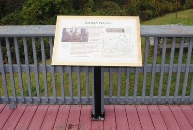
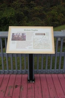
More about this marker. On the left is the painting Oneidas at the Battle of Oriskany by Don Troiani. In the center is a map of The Mohawk Valley and the lands of the six Haudenosaunee nations at the time of the Revolutionary War.
Credits. This page was last revised on June 16, 2016. It was originally submitted on July 25, 2010, by Craig Swain of Leesburg, Virginia. This page has been viewed 1,194 times since then and 20 times this year. Photos: 1, 2. submitted on July 25, 2010, by Craig Swain of Leesburg, Virginia. 3, 4, 5. submitted on November 6, 2015, by Brian Scott of Anderson, South Carolina. 6. submitted on July 25, 2010, by Craig Swain of Leesburg, Virginia. 7. submitted on November 6, 2015, by Brian Scott of Anderson, South Carolina.
