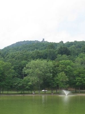
Kensington in Meriden in New Haven County, Connecticut — The American Northeast (New England)
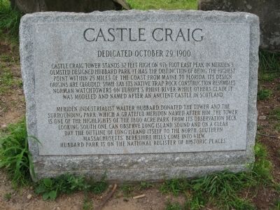
Castle Craig
Dedicated october 29, 1900
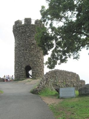
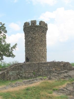
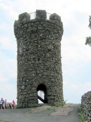
Meriden industrialist Walter Hubbard donated the tower and the surrounding park which a grateful Meriden named after him. The tower is one of the highlights of the 1800 acre park. From its observation deck looking south one can observe Long Island Sound and on a clear day the outline of Long Island itself. To the north southern Massachusetts' Berkshire Hills come into view.
Hubbard Park is on the National Register of Historic Places.
Topics. This historical marker is listed in these topic lists: Forts and Castles • Notable Buildings. A significant historical date for this entry is October 29, 1871.
Location. 41° 33.403′ N, 72° 50.126′ W. Marker is in Meriden, Connecticut, in New Haven County. It is in Kensington. Marker can be reached from the intersection of West Main Street and Hubbard Park Drive, on the right when traveling west. Located in Hubbard Park. 3.5 miles from the park entrance. Bear left at the fork about 3.2 miles. Touch for map. Marker is in this post office area: Meriden CT 06451, United States of America. Touch for directions.
Other nearby markers. At least 8 other markers are within 3 miles of this marker, measured as the crow flies. Hubbard Park (approx. 0.6 miles away); Ancient Burial Ground (approx. 1.9 miles away); Meriden’s Traffic Tower (approx. 2.1 miles away); Southington Recreation Park (approx. 2.2 miles away); Dedicated to All Veterans (approx. 2.2 miles away); Maxwell Noble Drive (approx. 2.2 miles away); Forever Honored Forever Mourned (approx. 2.3 miles away); Reverend Zygmunt Woroniecki (approx. 2.3 miles away). Touch for a list and map of all markers in Meriden.
Also see . . . Castle Craig on Wikipedia. (Submitted on July 26, 2010, by Michael Herrick of Southbury, Connecticut.)
Credits. This page was last revised on February 10, 2023. It was originally submitted on July 26, 2010, by Michael Herrick of Southbury, Connecticut. This page has been viewed 2,103 times since then and 63 times this year. Photos: 1, 2, 3, 4, 5. submitted on July 26, 2010, by Michael Herrick of Southbury, Connecticut.
