West Ocean View in Norfolk, Virginia — The American South (Mid-Atlantic)
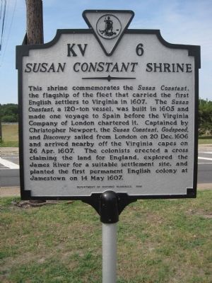
Susan Constant Shrine
Erected 1998 by Department of Historic Resources. (Marker Number KV-6.)
Topics and series. This historical marker is listed in these topic lists: Colonial Era • Settlements & Settlers • Waterways & Vessels. In addition, it is included in the Virginia Department of Historic Resources (DHR) series list. A significant historical date for this entry is May 14, 1607.
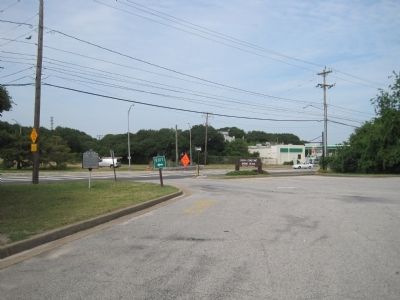
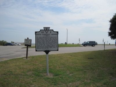
Location. 36° 57.535′ N, 76° 15.554′ W. Marker is in Norfolk, Virginia. It is in West Ocean View. Marker is at the intersection of West Ocean View Avenue (U.S. 60) and Tidewater Drive (Virginia Route 168), on the right when traveling west on West Ocean View Avenue. At the entrance to Susan Constant Shrine Beach. Touch for map. Marker is in this post office area: Norfolk VA 23503, United States of America. Touch for directions.
Other nearby markers. At least 8 other markers are within 2 miles of this marker, measured as the crow flies. Flagship Sarah Constant (within shouting distance of this marker); USS Intrepid (CV-11) (about 300 feet away, measured in a direct line); Operation Torch, 1942 (about 400 feet away); Landing of Wool and Surrender of Norfolk (approx. 0.2 miles away); First Flight Ship to Shore (approx. 0.4 miles away); Veterans Memorial (approx. 0.6 miles away); The Norfolk 17 (approx. 1.6 miles away); Battle, Monitor and Merrimack (approx. 1.8 miles away). Touch for a list and map of all markers in Norfolk.
Additional keywords. Susan Constant Shrine
Credits. This page was last revised on February 1, 2023. It was originally submitted on July 27, 2010, by Kevin W. of Stafford, Virginia. This page has been viewed 1,544 times since then and 62 times this year. Photos: 1, 2, 3. submitted on July 27, 2010, by Kevin W. of Stafford, Virginia.


