Near Lafayette in Tippecanoe County, Indiana — The American Midwest (Great Lakes)
Trail of Death
September 13, 1838
— Lagrange on Wabash River —
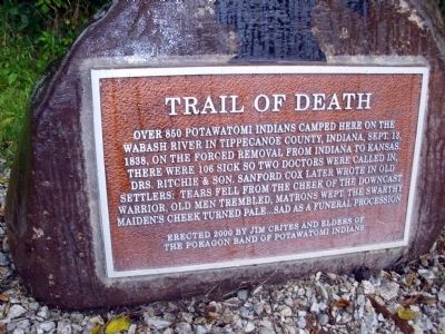
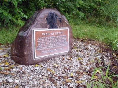
Over 850 Potawatomi Indians camped here on the Wabash River in Tippecanoe County, Indiana, Sept. 13, 1838, on the forced removal from Indiana to Kansas. There were 106 sick so two doctors were called in, Drs. Ritchie & son. Sanford Cox later wrote in old Settlers: tears fell from the cheek of the downcast warrior, old men trembled, matrons wept, the swarthy maiden’s cheek turned pale. . .sad as a funeral procession.
Erected 2000 by Jim Crites, and Elders of The Pokagon Band of Potawatomi Indians.
Topics and series. This historical marker is listed in this topic list: Native Americans. In addition, it is included in the Potawatomi Trail of Death series list. A significant historical date for this entry is September 13, 1838.
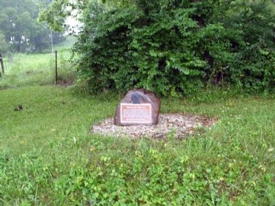
Location. 40° 22.373′ N, 87° 5.479′ W. Marker is near Lafayette, Indiana, in Tippecanoe County. Marker is on County Road S 950 W south of County Road W 75 S, on the right when traveling south. Located in Tippecanoe County - at the Warren County Line next to the Wabash River. Touch for map. Marker is in this post office area: Lafayette IN 47901, United States of America. Touch for directions.
Other nearby markers. At least 8 other markers are within 7 miles of this marker, measured as the crow flies. Granville (approx. 3.7 miles away); The Wea Plains (approx. 4.2 miles away); Davis Township - Maysville (approx. 4.3 miles away); a different marker also named The Trail of Death (approx. 4.6 miles away); Zachariah Cicott (approx. 4.9 miles away); The Buddell Sleeper House (approx. 5.9 miles away); Farmers Institute Academy (approx. 6.3 miles away); Post Ouiatenon Site (approx. 7 miles away).
Also see . . . Trail of Death map. Potawatomi Web entry (Submitted on August 1, 2010, by Al Wolf of Veedersburg, Indiana.)
Credits. This page was last revised on June 19, 2022. It was originally submitted on August 1, 2010, by Al Wolf of Veedersburg, Indiana. This page has been viewed 1,284 times since then and 47 times this year. Photos: 1, 2, 3. submitted on August 1, 2010, by Al Wolf of Veedersburg, Indiana. • Syd Whittle was the editor who published this page.


