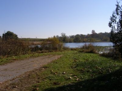
Indian Village in Noble County, Indiana — The American Midwest (Great Lakes)
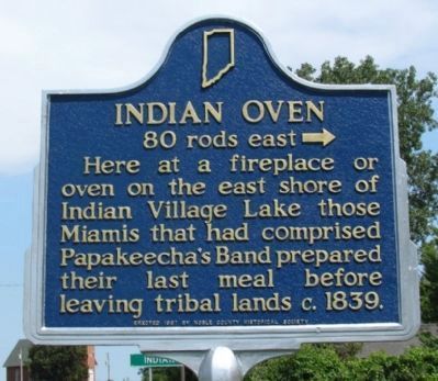
Indian Oven
80 Rods East →
Erected 1967 by the Noble County Historical Society. (Marker Number 57.1967.2.)
Topics and series. This historical marker is listed in this topic list: Native Americans. In addition, it is included in the Indiana Historical Bureau Markers series list. A significant historical year for this entry is 1839.
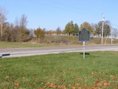
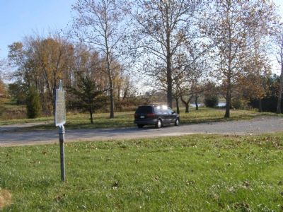
Location. 41° 21.849′ N, 85° 38.378′ W. Marker is in Indian Village, Indiana, in Noble County. Marker is on State Road 5. SR 5 at public access site entrance, south side of Indian Village. Touch for map. Marker is in this post office area: Cromwell IN 46732, United States of America. Touch for directions.
Other nearby markers. At least 8 other markers are within 5 miles of this marker, measured as the crow flies. Chief Papakeecha’s House (approx. 1.2 miles away); Greider / Oak Grove Cemetery (approx. 2.3 miles away); Continental Divide (approx. 3.2 miles away); Stewart-Griesinger Cemetery (approx. 3.4 miles away); Wilmot (approx. 3.8 miles away); North Webster Cemetery (approx. 3.8 miles away); The Dixie (approx. 4 miles away); Mock Cemetery (approx. 4.6 miles away).
Additional commentary.
1. New Marker
The previous marker was damaged by storms in 2011 and removed. A new marker was installed in the same location in July 2012. No changes were made to the marker inscription.
— Submitted August 6, 2012, by Duane Hall of Abilene, Texas.
Credits. This page was last revised on August 30, 2020. It was originally submitted on November 7, 2007, by Christopher Light of Valparaiso, Indiana. This page has been viewed 2,100 times since then and 86 times this year. Photos: 1. submitted on August 6, 2012, by Duane Hall of Abilene, Texas. 2, 3, 4, 5. submitted on November 7, 2007, by Christopher Light of Valparaiso, Indiana. • J. J. Prats was the editor who published this page.
