Carrollton in Isle of Wight County, Virginia — The American South (Mid-Atlantic)
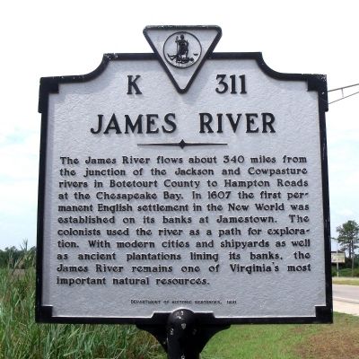
James River
Erected 1991 by Department of Historic Resources. (Marker Number K-311.)
Topics and series. This historical marker is listed in these topic lists: Exploration • Natural Resources • Settlements & Settlers • Waterways & Vessels. In addition, it is included in the Virginia Department of Historic Resources (DHR) series list. A significant historical year for this entry is 1607.
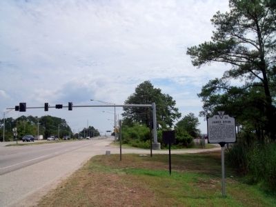
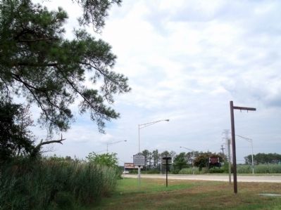
Location. 36° 57.899′ N, 76° 30.906′ W. Marker is in Carrollton, Virginia, in Isle of Wight County. Marker is on Carrollton Boulevard (U.S. 17) 0.3 miles north of Kings Cove Way (Virginia Route 659), on the right when traveling north. Touch for map. Marker is in this post office area: Carrollton VA 23314, United States of America. Touch for directions.
Other nearby markers. At least 8 other markers are within 5 miles of this marker, measured as the crow flies. 1954 Nike-Ajax Missile Site N-75L (approx. 2˝ miles away); People and Places, circa 1957 at N-75L (approx. 2.6 miles away); Missile Magazine and Launch Operations (approx. 2.6 miles away); Nike-Ajax Missile Radar Control Site N-75C (approx. 2.7 miles away); Josiah Parker (approx. 2.8 miles away); Warraskoyack Indians (approx. 2.8 miles away); Crittenden and Eclipse (approx. 4.1 miles away); Saint Luke's Church (approx. 4.3 miles away). Touch for a list and map of all markers in Carrollton.
Also see . . . James River Association. (Submitted on August 3, 2010.)
Credits. This page was last revised on November 7, 2021. It was originally submitted on August 3, 2010, by Bernard Fisher of Richmond, Virginia. This page has been viewed 1,332 times since then and 31 times this year. Photos: 1, 2, 3. submitted on August 3, 2010, by Bernard Fisher of Richmond, Virginia.


