Rowlesburg in Preston County, West Virginia — The American South (Appalachia)
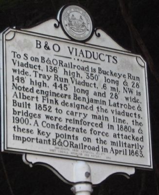
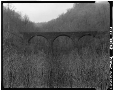
B&O Viaducts
Erected 1962 by Rowlesburg Area Historical Society & West Virginia Archives and History.
Topics and series. This historical marker is listed in these topic lists: Railroads & Streetcars • War, US Civil. In addition, it is included in the Baltimore and Ohio Railroad (B&O), and the West Virginia Archives and History series lists. A significant historical month for this entry is April 1863.
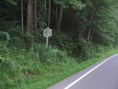
Location. 39° 21.48′ N, 79° 41.599′ W. Marker is in Rowlesburg, West Virginia, in Preston County. Marker is on State Highway 72, on the right when traveling south. Touch for map. Marker is in this post office area: Rowlesburg WV 26425, United States of America. Touch for directions.
Other nearby markers. At least 8 other markers are within 2 miles of this marker, measured as the crow flies. Canon Hill (approx. 1.3 miles away); Rowlesburg Community Park (approx. 1.3 miles away); Cannon Hill (approx. 1.4 miles away); Restoring the American Chestnut Tree (approx. 1.4 miles away); Rowlesburg School (approx. 1.4 miles away); The Great Flood of November 4-5, 1985 (approx. 1.4 miles away); Independent Order of Odd Fellows Building and Property (approx. 1.4 miles away); Rowlesburg Area Honor Roll (approx. 1˝ miles away). Touch for a list and map of all markers in Rowlesburg.
Also see . . . Tray Run Viaduct. From the Rowlesburg Historical site. (Submitted on August 3, 2010, by Craig Swain of Leesburg, Virginia.)
Credits. This page was last revised on June 16, 2016. It was originally submitted on August 3, 2010, by Craig Swain of Leesburg, Virginia. This page has been viewed 1,209 times since then and 29 times this year. Photos: 1, 2, 3, 4. submitted on August 3, 2010, by Craig Swain of Leesburg, Virginia.


