Near North Lewisburg in Union County, Ohio — The American Midwest (Great Lakes)
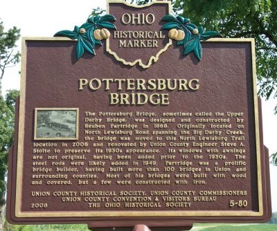
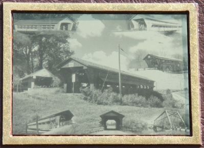
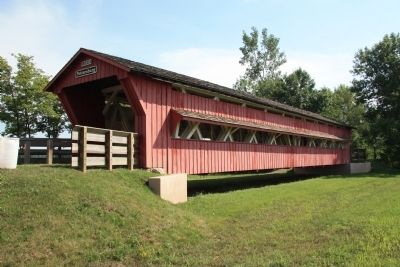
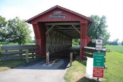
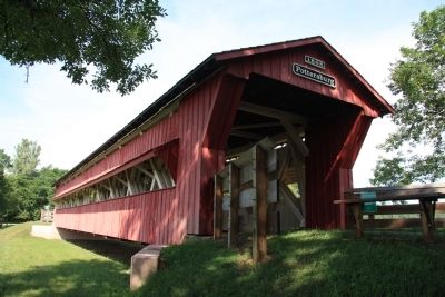
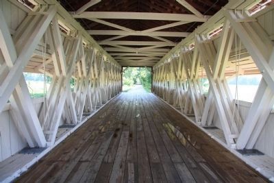
Pottersburg Bridge
Erected 2008 by Union County Historical Society, Union County Commissioners, Union County Convention & Visitors Bureau, and The Ohio Historical Society. (Marker Number 5-80.)
Topics and series. This historical marker is listed in this topic list: Bridges & Viaducts. In addition, it is included in the Ohio Historical Society / The Ohio History Connection series list. A significant historical year for this entry is 1868.
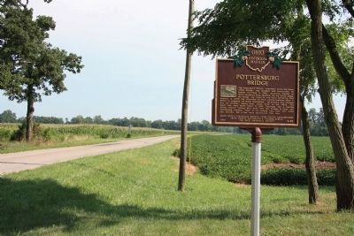
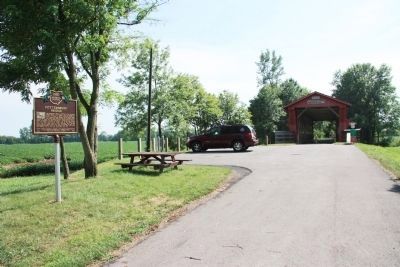
Location. 40° 14.461′ N, 83° 31.693′ W. Marker is near North Lewisburg, Ohio, in Union County. Marker is on Inskeep-Cratty Road (County Route 163) 0.8 miles north of Ohio Route 245, on the right when traveling south. This historical marker is located in a small public park, on the west side of the road, in front of the Pottersburg Bridge. Touch for map. Marker is in this post office area: North Lewisburg OH 43060, United States of America. Touch for directions.
Other nearby markers. At least 8 other markers are within 5 miles of this marker, measured as the crow flies. Spain Creek Covered Bridge (approx. 0.9 miles away); North Lewisburg, O. Service Flag (approx. 1.8 miles away); a different marker also named North Lewisburg (approx. 1.8 miles away); Friends Church / Friends Cemetery (approx. 1.9 miles away); North Lewisburg Fire Bell (approx. 1.9 miles away); North Lewisburg, Ohio Veterans Memorial (approx. 3 miles away); Christopher Crary (approx. 3.1 miles away); Middleburg United Methodist Church Bellringers (approx. 4˝ miles away). Touch for a list and map of all markers in North Lewisburg.
Also see . . .
1. 35-80-01 (Pottersburg Bridge). This is a link to a series of photos showing the Pottersburg Bridge at it's original location, then showing the bridge being moved to it's present location, then showing the bridge being renovated, and then showing the bridge in it's present condition. (Submitted on August 7, 2010.)
2. Ohio Covered Bridges List. This is a link to information on Ohio's Covered Bridges that is provided by Dale Travis. (Submitted on August 7, 2010, by Dale K. Benington of Toledo, Ohio.)
3. Upper Darby / Pottersburg Covered Bridge. This is a link to a series of photographs showing the Pottersburg Bridge in it's original location. (Submitted on August 7, 2010, by Dale K. Benington of Toledo, Ohio.)
4. The Bridge Builder of Union County. This is a link to information on the builder of the Pottersburg Bridge, Reuben L. Partridge. (Submitted on August 7, 2010, by Dale K. Benington of Toledo, Ohio.)
Credits. This page was last revised on June 16, 2016. It was originally submitted on August 6, 2010, by Dale K. Benington of Toledo, Ohio. This page has been viewed 1,680 times since then and 37 times this year. Photos: 1, 2, 3, 4, 5, 6, 7, 8. submitted on August 7, 2010, by Dale K. Benington of Toledo, Ohio.
