Near Roosevelt in Gila County, Arizona — The American Mountains (Southwest)
The Bridge
1987-1990
— Tonto National Forest —
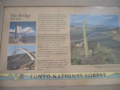
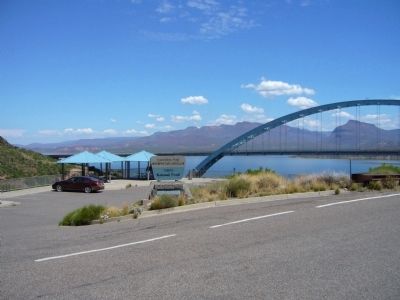
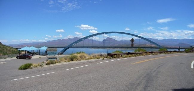
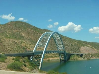
Before dam modifications could begin, a $21.3 million bridge was built to relocate traffic off the top of Roosevelt Dam. Roosevelt Lake Bridge is the longest two-lane, single-span, steel-arch bridge in North America. The bridge, spanning 1,080 feet across Roosevelt Lake, was painted blue to blend in with the lake and sky, letting the form speak.
A few challenges addressed in designing the bridge were the porous limestone foundations, a narrow width to height ratio, and erection 300 feet above the water. Did you notice the arch in the bridge's roadway viewed from a distance? If the road were level, drivers would have the perception that the bridge was sagging. Not a good sensation when you are driving 150 feet above the water!
The bridge was named one of the top twelve outstanding bridges in the nation in November 1995. Other bridges cited were the Golden Gate and Brooklyn bridges.
Erected by Forest Service, U.S. Department of Agriculture.
Topics. This historical marker is listed in these topic lists: Bridges & Viaducts • Charity & Public Work • Industry & Commerce • Waterways & Vessels. A significant historical month for this entry is November 1995.
Location. 33° 40.302′ N, 111° 9.532′ W. Marker is near Roosevelt , Arizona, in Gila County. Marker is on The Apache Trail (Arizona Route 88 at milepost 242) south of Route 188. Marker is at Inspiration Point Overlook. Touch for map. Marker is in this post office area: Roosevelt AZ 85545, United States of America. Touch for directions.
Other nearby markers. At least 8 other markers are within walking distance of this marker. Tonto Basin (here, next to this marker); Salt River Before the Dam (here, next to this marker); Welcome to the Apache Trail Historic Road (approx. 0.3 miles away); Alchesay (approx. 0.3 miles away); Roosevelt Dam (approx. 0.3 miles away); a different marker also named Roosevelt Dam (approx. 0.3 miles away); The People Who Made It Happen (approx. 0.3 miles away); Al Sieber (approx. 0.6 miles away). Touch for a list and map of all markers in Roosevelt.
Credits. This page was last revised on August 16, 2020. It was originally submitted on August 6, 2010, by Bill Kirchner of Tucson, Arizona. This page has been viewed 1,376 times since then and 96 times this year. Last updated on May 22, 2019. Photos: 1, 2, 3, 4. submitted on August 6, 2010, by Bill Kirchner of Tucson, Arizona. • Andrew Ruppenstein was the editor who published this page.


