Upper Marlboro in Prince George's County, Maryland — The American Northeast (Mid-Atlantic)
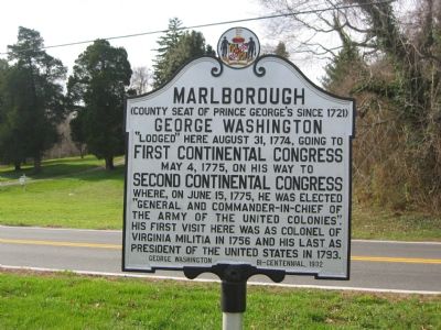
Marlborough
(County seat of Prince George's County since 1721)
Erected 1932 by George Washington Bicentennial.
Topics and series. This historical marker is listed in these topic lists: Patriots & Patriotism • Settlements & Settlers • War, US Revolutionary. In addition, it is included in the Former U.S. Presidents: #01 George Washington, and the George Washington Slept Here series lists. A significant historical month for this entry is May 1932.
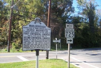
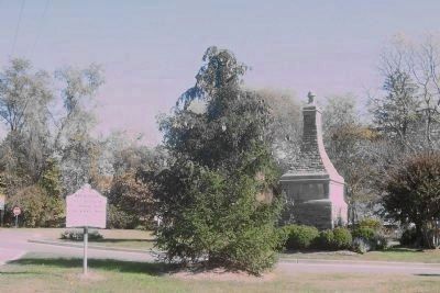
Location. 38° 48.927′ N, 76° 45.262′ W. Marker is in Upper Marlboro, Maryland, in Prince George's County. Marker is at the intersection of Old Marlboro Pike (Maryland Route 725) and Main Street (Maryland Route 725), on the left when traveling east on Old Marlboro Pike. Marker is on the triangle area where Old Marlboro Pike intersects with Main street and Old Crain Highway. Touch for map. Marker is at or near this postal address: 14500 Main Street, Upper Marlboro MD 20772, United States of America. Touch for directions.
Other nearby markers. At least 8 other markers are within walking distance of this marker. Baltimore-Southern Maryland Trunk Line (a few steps from this marker); Thomas John Claggett, D.D. (about 500 feet away, measured in a direct line); British Disgrace (about 500 feet away); The Site of the Residence of Dr. William Beanes (approx. 0.2 miles away); Marlboro Academy (approx. 0.2 miles away); Turn of Events (approx. 0.2 miles away); Dr. William Beanes (approx. 0.2 miles away); William Beanes (approx. 0.2 miles away). Touch for a list and map of all markers in Upper Marlboro.
Credits. This page was last revised on August 17, 2019. It was originally submitted on November 18, 2007, by F. Robby of Baltimore, Maryland. This page has been viewed 1,556 times since then and 12 times this year. Last updated on August 12, 2010. Photos: 1. submitted on November 18, 2007, by F. Robby of Baltimore, Maryland. 2, 3. submitted on October 25, 2008, by Richard E. Miller of Oxon Hill, Maryland. • Kevin W. was the editor who published this page.


