Near Amherstburg in Essex County, Ontario — Central Canada (North America)
Skirmishes at the Canard River
Inscription.
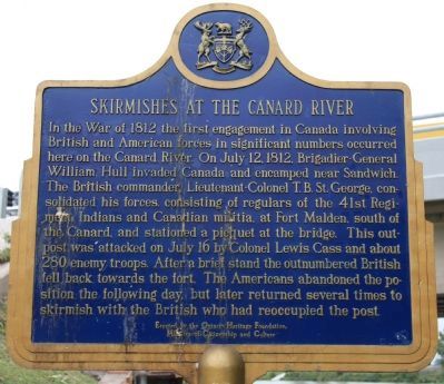
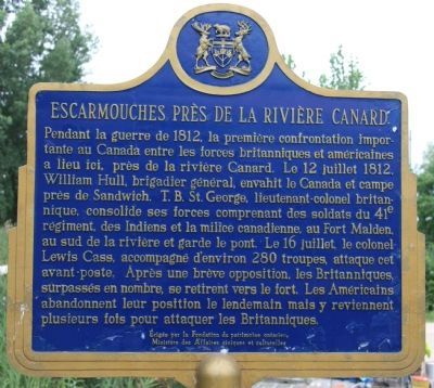
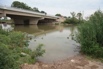
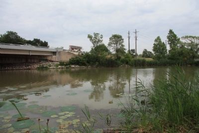
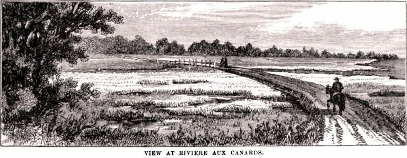
In the War of 1812, the first engagement in Canada involving British and American forces in significant numbers occurred here on the Canard River. On July 12, 1812, Brigadier-General William Hull invaded Canada and encamped near Sandwich. British commander, T.B. St. George, consolidated his forces consisting of regulars of the 41st Regiment, Indians, and Canadian militia at Fort Malden, south of the Canard and stationed at picquet at the bridge. This outpost was attacked on July 16th by Colonel Louis Cass and about 280 enemy troops. After a brief stand, the out numbered British fell back towards the fort. The Americans abandoned the position the following day, but later returned several times to skirmish with the British, who reoccupied the post.
Erected 1987 by Ontario Heritage Foundation.
Topics. This historical marker is listed in this topic list: War of 1812. A significant historical month for this entry is July 1849.
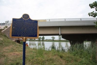
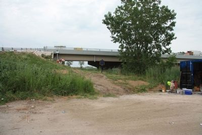
Location. 42° 10.148′ N, 83° 5.882′ W. Marker is near Amherstburg, Ontario, in Essex County. Marker is on Front Street North (Provincial Highway 20) north of North Side Road, on the right when traveling south. This historic marker is located on the west side of the north end of the Canard River Bridge. It cannot be seen from the main road because it is located at ground level near the river, while the bridge is elevated to carry the roadway about 25 feet over the river. There is an unnamed side street on the northwest side of the bridge that provides access to the historical marker. Touch for map. Marker is in this post office area: Amherstburg ON N9V 3R3, Canada. Touch for directions.
Other nearby markers. At least 8 other markers are within 6 kilometers of this marker, measured as the crow flies. The Wyandot (approx. 3 kilometers away); Mansion House and Survey Tree (approx. 3.6 kilometers away in the U.S.); Eighteenth-Century Grist Mill Site (approx. 3.7 kilometers away in the U.S.); St. Anne Church/St. Anne Chapel (approx. 3.9 kilometers away in the U.S.); Angus Keith House (approx. 5.2 kilometers away in the U.S.); The Wyandot Indians (approx. 5.2 kilometers away in the U.S.); Grosse Ile Treaty Tree (approx. 5.3 kilometers away in the U.S.); Shipbuilding (approx. 5.4 kilometers away in the U.S.).
Related markers. Click here for a list of markers that are related to this marker. To better understand the relationship, study each marker in the order shown.
Photographed By Dale K. Benington, August 9, 2010
5. Skirmishes at the Canard River Marker
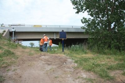
A more distant view from the side street that runs along the northwest side of the bridge. The historical marker is midway between the tree on the right of the picture and the bridge foundation that is on the left.
Credits. This page was last revised on February 13, 2021. It was originally submitted on August 12, 2010, by Dale K. Benington of Toledo, Ohio. This page has been viewed 1,641 times since then and 107 times this year. Photos: 1, 2, 3, 4, 5, 6, 7. submitted on August 13, 2010, by Dale K. Benington of Toledo, Ohio. 8. submitted on February 13, 2021, by Allen C. Browne of Silver Spring, Maryland.
